


33 km | 43 km-effort
Fuveau : découvrez les meilleures randonnées : 1 vélo, 36 vélo de route et 35 v.t.t.. Tous ces circuits, parcours, itinéraires et activités en plein air sont disponibles dans nos applications SityTrail pour smartphones et tablettes.
V.T.T.


• Petites routes et DFCI uniquement. Pas de passages délicats L’été, consulter la carte des conditions d’accès au massi...
V.T.T.
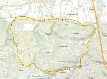
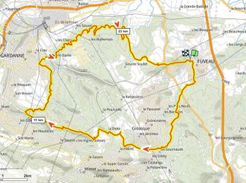
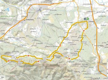
• Départ halte routière de Fuveau. Passer l’école Roque Martine. Suivre l'ancienne voie ferrée Aubagne-Gardanne jusqu’a...
V.T.T.
• Fuveau Meyreuil via le GR terre d'Energies et la centrale solaire. Montée raide du Tholonet à Bibémus. Parcours magni...
Vélo de route
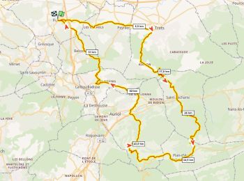
• Très joli tronçon entre Pourrières Puyloubier et les Bannettes. A faire le dimanche matin pour plus de tranquilité. B...
V.T.T.
• Assez longue mais non technique. Montée soutenue des Mérentiers au Pilon du Roi par DFCI. Joli tronçon plat en cornic...
V.T.T.
• Départ halte routière de Fuveau. Passer l’école Roque Martine. Suivre l'ancienne voie ferrée Aubagne-Gardanne jusqu’a...
Vélo de route
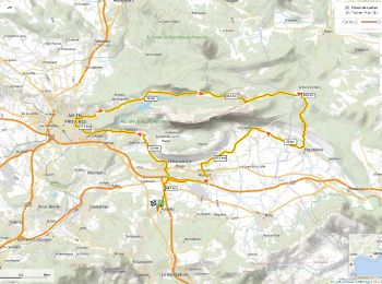
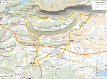
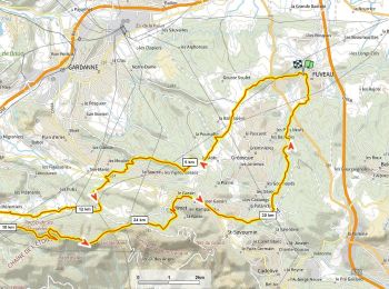
• Fuveau Châteauneuf Beaurecueil Le-Tholonet Aix-Parc-Rambot Vauvenargues Col des Portes Pourrières Puyloubier Rousset ...
V.T.T.
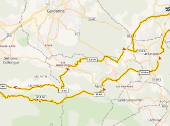
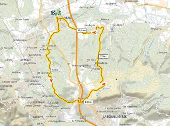
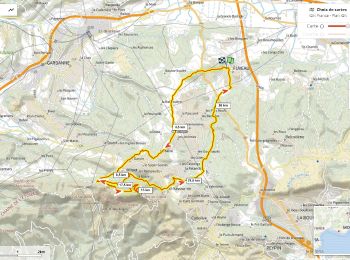
• Fuveau Pigeonnier par GR dans la foret de Gréasque, Vigie du Regagnas, Pas de la Couelle, Kirbon, Pigeonnier, Les Mic...
Vélo de route
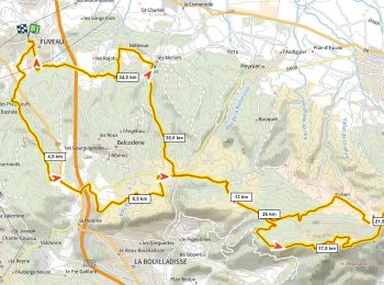
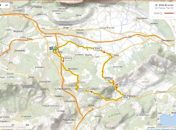
• Fuveau Rousset Puyloubier Le Cengle La maison de Ste Victoire (bar resto musée informations) Beaureceuil Chateauneuf...
Vélo de route
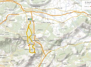
• Jolie boucle dans les vignobles. Fontaine au lavoir et bar à Puyloubier
Vélo de route
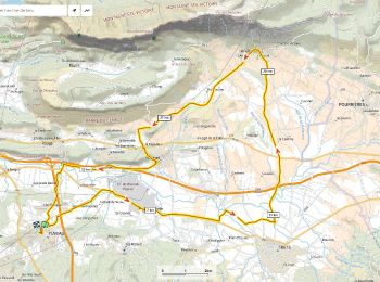
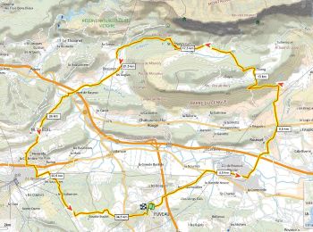
• Une classique incontournable avec 3 cols: 1 Le pas de la Couelle dit le "Petit Galibier" = super panorama. 2 La côte ...

V.T.T.
Vélo de route
• par le petit Galbier , retour par le Pigonnier.
V.T.T.
• tracé sur carte à essayer
Vélo de route
• Côtes sévères au pas de Magnan (Antenne) et aux Sauveyres
V.T.T.
• par Gréasque, la Pomme, Belco, les Michels. tracé à essayer
V.T.T.
• Petites routes et DFCI sans difficultés. Côte de 3KM à 10% par les 4 Termes, Château-bas, les Mérentiers, le Pilon du...
V.T.T.
• Petites routes et DFCI sans difficultés. Côte de 3KM à 10% par les 4 Termes, la Diote, Les Marres, les Mérentiers, Pi...
V.T.T.
• tracé sur carte à essayer
V.T.T.
• Le Grand Puech est un belvédère exceptionnel sur Marseille, la Sainte Beaume, les Alpes Maritimes, le Verdon, Les Ecr...
20 randonnées affichées sur 72
Application GPS de randonnée GRATUITE
 SityTrail
IGN / Instituts géographiques
SityTrail World
Le monde est à vous