


16,8 km | 21 km-effort
Fuveau : découvrez les meilleures randonnées : 66 marche et 2 course à pied. Tous ces circuits, parcours, itinéraires et activités en plein air sont disponibles dans nos applications SityTrail pour smartphones et tablettes.
Marche


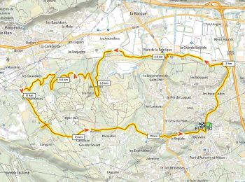
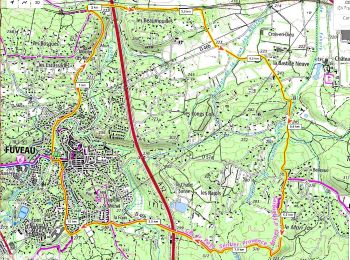
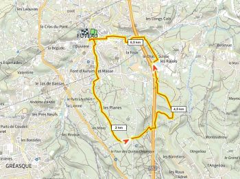
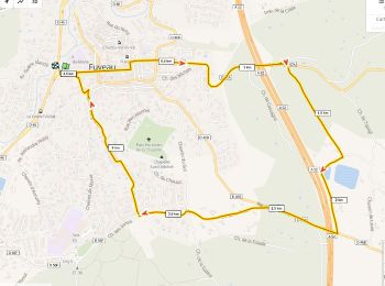
• Départ halte routière de Fuveau. Passer l’école Roque Martine. Suivre l'ancienne voie ferrée Aubagne-Gardanne jusqu’a...
Marche
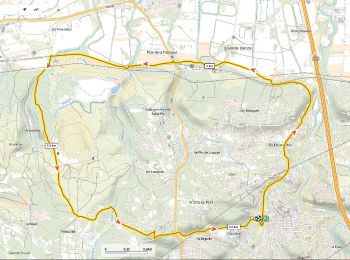
• Départ halte routière de Fuveau. Passer l’école Roque Martine. Suivre l'ancienne voie ferrée Aubagne-Gardanne jusqu’a...

Marche
• P1 T1 Facile
Marche
• aller par la voie verte de l'ancienne ligne SNCF https://fr.wikipedia.org/wiki/Ligne_d%27Aubagne_%C3%A0_La_Barque tr...
Marche
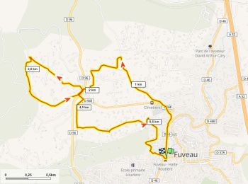
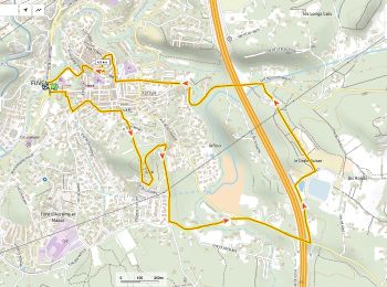
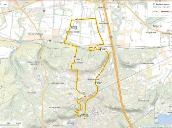
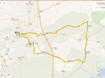
• Boucle depuis la gare routière: Ancien Chemin d'Aix, canal, Les Laouvas, ancien canal, retour par le ch du Crot du Po...
Marche
• Boucle depuis la gare routière: Ancien Chemin d'Aix, canal, Les Laouvas, ancien canal, retour par le ch du Crot du Po...
Marche
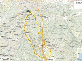
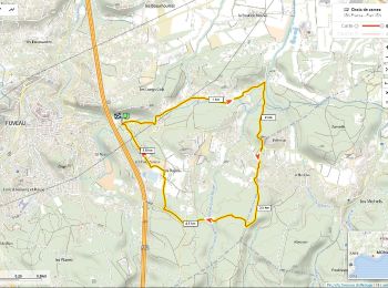
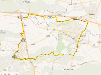
• à tester passage sur l'autoroute par la voie ferrée de Trets. retour par GRP "Energies" variante: retour par la chape...
Marche
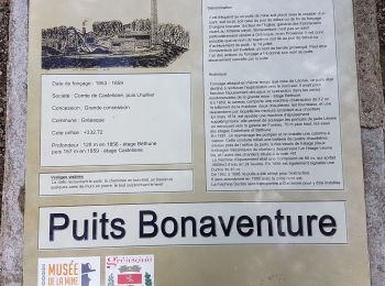
• https://www.mairiedefuveau.fr/culture-tourisme/patrimoine/
Marche
Marche
Marche
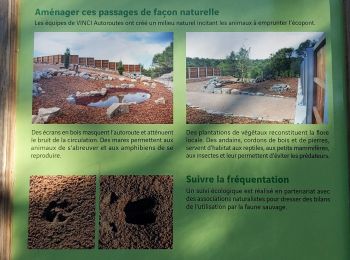
• passge sur l'autoroute par l'écopont
Marche
Marche
Marche
Marche
Marche
• randonnée
Marche
Marche
Marche
Marche
20 randonnées affichées sur 66
Application GPS de randonnée GRATUITE
 SityTrail
IGN / Instituts géographiques
SityTrail World
Le monde est à vous