


20 km | 29 km-effort
Grandfontaine : découvrez les meilleures randonnées : 8 v.t.t., 1 v.t.c. et 1 vélo électrique. Tous ces circuits, parcours, itinéraires et activités en plein air sont disponibles dans nos applications SityTrail pour smartphones et tablettes.
V.T.T.


• Aucunes difficultés particulières à signaler. Seul le sentier chevalet rouge après l'abri de Colbéry est un peu techn...
V.T.T.
• Source: Amicale Cycliste d'Ostwald D'autres infos ICI

V.T.T.
• Source: Amicale Cycliste d'Ostwald Plus de détails ICI
V.T.T.
• Organisée par l'Amicale Cycliste d'Ostwald D'autres infos et une carte détaillée sont ICI

V.T.T.
• Rando organisée par l'Amicale Cycliste d'Ostwald

Vélo électrique
• Descente par route puis voie verte
V.T.C.
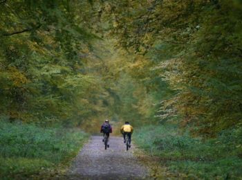
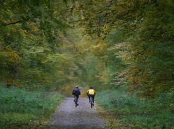
• sortie gravel
V.T.T.
• Toujours au départ du col du Donon pour une belle boucle.
V.T.T.
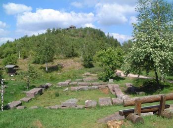
• Balade au départ du col du Donon pour finir au pied du site historique et revenir au point de départ.
V.T.T.
10 randonnées affichées sur 10
Application GPS de randonnée GRATUITE
 SityTrail
IGN / Instituts géographiques
SityTrail World
Le monde est à vous