


12,6 km | 16,9 km-effort
Grandfontaine : découvrez les meilleures randonnées : 111 pédestres, 10 à vélo ou VTT et 1 parcours équestres. Tous ces circuits, parcours, itinéraires et activités en plein air sont disponibles dans nos applications SityTrail pour smartphones et tablettes.
Marche


• Faite le 24/05/2015 avec notre fils de 10 ans. Balisage anneau rouge. Lampe de poche obligatoire pour la passionnante...
Marche
• Faite le 30/06/2013 en 4h50 (dont 0h50 de pauses) avec notre fils de 8 ans. D'après : Passion Vosges - La Haute-Bruch...
Marche
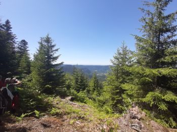
• Marche en boucle à la journée au départ des Minières de Grandfontaine en passant par la tête Mathis, la chapelle de B...
Marche
• Boucle au départ des Minières derrière Grandfontaine en passant par la Tête Mathis, le col de Prayé, la Tête de Bipie...
A pied
• Randonnée créée par Club Vosgien de la Vezouze.
Marche
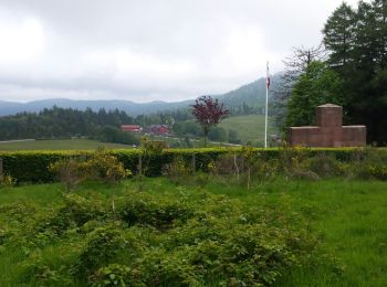
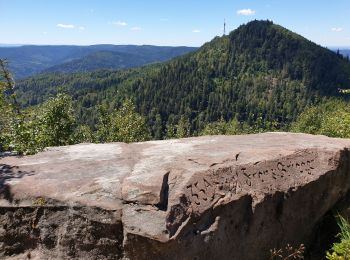
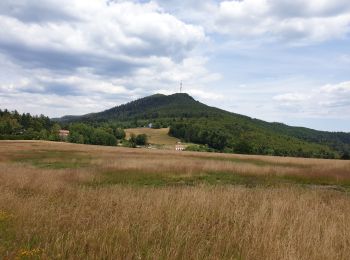
• Au départ du col, marche vers le Donon puis le petit Donon. Retour vers le col en passant par l'ensemble des casemates
Marche
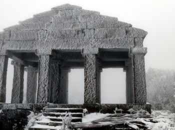
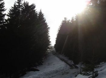
• Sous la neige
Marche
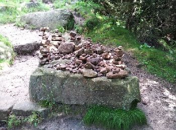
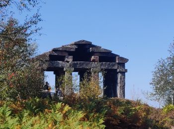
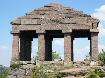
• parcours à la découverte du petit et du grand Donon, des vestiges archéologiques, des blochaus de la Première guerre ...
Marche

Marche
Marche
• Repris de Passion Vosges - Sentiers de mémoire de la grande guerre

Marche
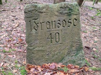
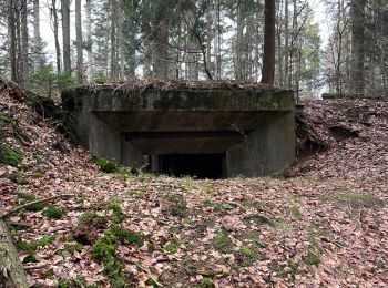
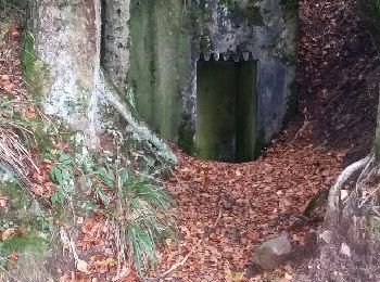
• vestiges 14 - 18 blockhaus allemand avec tunnel
Marche
• Faite le 27/07/2020. D'après "Passion Vosges - Sentiers de mémoire de la Grande Guerre " N°3 : Positions fortifiées ...
Marche
• Faite le 19/07/2020 avec notre fils Théo de 15 ans. D'après "Passion Vosges - Sentiers de mémoire de la Grande Guerre...
Marche nordique
• super randonnée pour bon marcheur
Marche
• balisage très difficile....
Marche

Raquettes à neige
• Départ du col du Donon, montée en direction de la plate forme du Donon vers le Temple du Donon. Descente vers le col ...
Marche
• Départ du col du Donon, montée en direction de la plate forme du Donon vers le Temple du Donon. Descente vers le col ...
Marche
• Circuit proposé par leComité Départemental du Tourisme des Vosges et l’Office de Tourisme de Raon l’Étape. Départ : P...
20 randonnées affichées sur 131
Application GPS de randonnée GRATUITE
 SityTrail
IGN / Instituts géographiques
SityTrail World
Le monde est à vous