


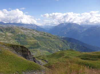
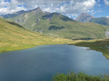
16,7 km | 23 km-effort
Montvalezan : découvrez les meilleures randonnées : 11 v.t.t. et 4 vélo électrique. Tous ces circuits, parcours, itinéraires et activités en plein air sont disponibles dans nos applications SityTrail pour smartphones et tablettes.
V.T.T.


V.T.T.
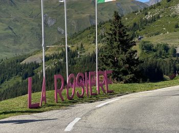
• La Rosière / BsM
V.T.T.
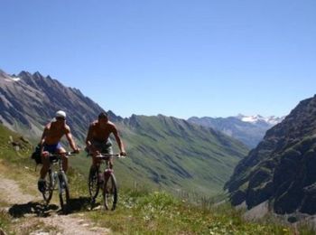
• Espace VTT FFC La Rosière La Thuile Circuit labellisé par la Fédération Française de Cyclisme. Ce circuit permet de v...
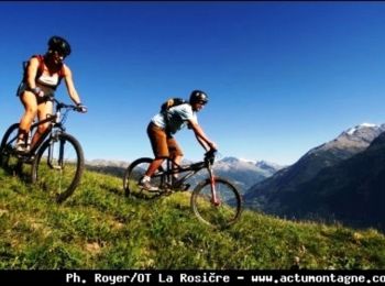
V.T.T.
• Espace VTT FFC La Rosière La Thuile Circuit labellisé par la Fédération Française de Cyclisme. Entre Haute-Tarentaise...
V.T.T.
V.T.T.
Vélo électrique
• petit tout en électrique dans les pentes de ski alpine
Vélo électrique
Vélo électrique
V.T.T.
V.T.T.
Vélo électrique
V.T.T.
V.T.T.
V.T.T.
15 randonnées affichées sur 15
Application GPS de randonnée GRATUITE
 SityTrail
IGN / Instituts géographiques
SityTrail World
Le monde est à vous