


13,3 km | 25 km-effort
Montvalezan : découvrez les meilleures randonnées : 33 pédestres et 15 à vélo ou VTT. Tous ces circuits, parcours, itinéraires et activités en plein air sont disponibles dans nos applications SityTrail pour smartphones et tablettes.
Marche


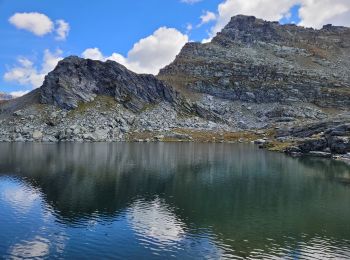
• randonnée effectuée le 25 aout 2022. attention, éviter d'inverser le sens de la randonnée la descente du passage de l...
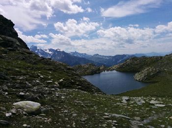
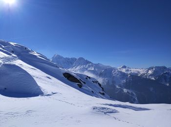
Ski de randonnée
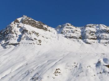
• Départ"des moulins" suivre le sentier d'été jusque Plan pigeux, juste avant ce lieu monter le couloir. Prévoir crampo...
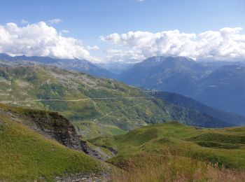
Raquettes à neige
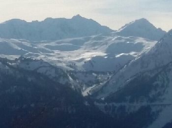
• Avec l'aide des télésiège voici une belle rando raquettes d'une journée. Les traces rectilignes sont les montées ou l...
Marche
• Beau parcours ensoleillé (en circuit)Belles Vues . Peu fréquenté seulement quelques promeneurs qui arrivent par le té...

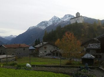
Marche
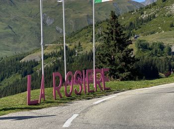
• La Rosière 1850
Marche
• La Rosière 1850
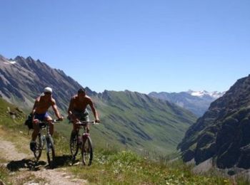
V.T.T.

V.T.T.
• La Rosière / BsM
Raquettes à neige
Raquettes à neige
• Descente vers le village du Chatelard et retour par les chemins ou sentiers
Raquettes à neige
• De la rosière rejoindre le pied du téléphérique du fort en empruntant la piste de ski de fond.
Marche
Marche
V.T.T.
• Espace VTT FFC La Rosière La Thuile Circuit labellisé par la Fédération Française de Cyclisme. Ce circuit permet de v...
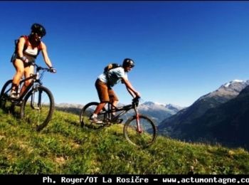
V.T.T.
• Espace VTT FFC La Rosière La Thuile Circuit labellisé par la Fédération Française de Cyclisme. Entre Haute-Tarentaise...
Raquettes à neige
Marche
• Jolie balade mais montée et descente rugueuse.

Ski alpin
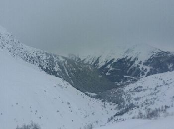
• Petite incursion en Italie. Très différent sur ce versant.
Ski alpin
• Belle station. Avec Renaldo.
V.T.T.
20 randonnées affichées sur 62
Application GPS de randonnée GRATUITE
 SityTrail
IGN / Instituts géographiques
SityTrail World
Le monde est à vous