


12,3 km | 19,7 km-effort
Seyssins : découvrez les meilleures randonnées : 19 v.t.t. et 6 vélo électrique. Tous ces circuits, parcours, itinéraires et activités en plein air sont disponibles dans nos applications SityTrail pour smartphones et tablettes.
V.T.T.


V.T.T.
V.T.T.
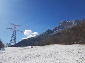
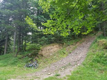
• Bel itinéraire d'automne, où l'on peut accessoirement admirer les ruines du tremplin datant des J.O. de 1968. En haut...
V.T.T.
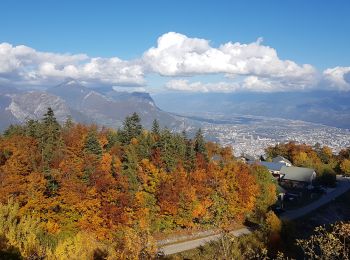
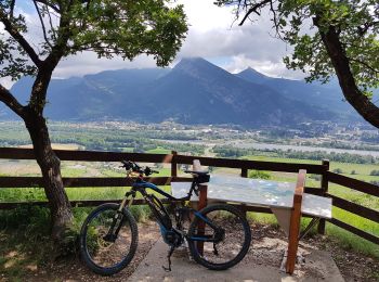
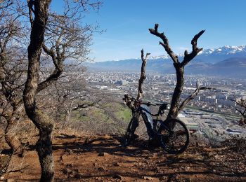
• Boucle sportive même en VTTAE. La fin de la montée à Gros Moran, est soutenue, sur un sentier très caillouteux: pied ...
V.T.T.
• Froid mais beau ! Merci VTTAE !
V.T.T.
• Très belle boucle: 1h pour monter à la tourbière du Peuil: D+: 740 m Reste 50% de la batterie. Au point le plus haut:...
V.T.T.
• Très belle boucle: 1h pour monter à la tourbière du Peuil: D+: 740 m Reste 50% de la batterie. Au point le plus haut:...
V.T.T.
• Reconnaissance en VTTAE pour MN. La montée en VVT à partir des Engenières nécessite un peu de 'poussettes' et du mode...
V.T.T.
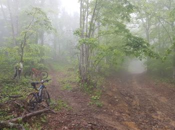
• Reco en Vttae avec Jc. Fini à pied dans un terrain boueux très glissant. A faire par temps sec ! Accès possible au se...
V.T.T.
• Reco en Vttae avec Jc. Fini à pied dans un terrain boueux très glissant. A faire par temps sec ! Accès possible au se...
V.T.T.
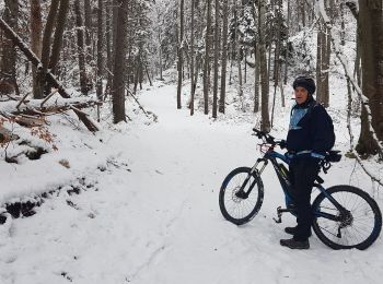
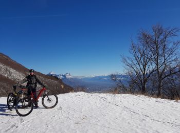
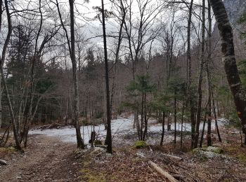
• Belle boucle qui finit dans 10 cm de neige poudreuse gelée, ça pompe la batterie ! Vide au retour.
V.T.T.
• Belle boucle qui finit dans 10 cm de neige poudreuse gelée, ça pompe la batterie ! Vide au retour.
V.T.T.
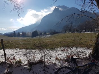
• Par 0° ! Montée par la Voie du Tram, descente par les sentiers.
V.T.T.
• Par 0° ! Montée par la Voie du Tram, descente par les sentiers.
V.T.T.
• 31 juillet 2019 : VTT AE Turbo Levo, utilisation 50% de la charge batterie. Temps ensoleillé et sec, petit vent frai...
V.T.T.
• Belle boucle en VTTAE depuis Seyssins. Reste 27% de la batterie 400Wh. Mode éco sur le plat. Reco pour MN: Faisable e...
V.T.T.
• Découverte de nouveaux sentiers VTT autour de la voie du Tram.Reste 20% de batterie 400W avec un peu de turbo. Pratic...
V.T.T.
• Tour sans difficulté, sauf la descente vers le nord très technique. Passage à pied recommandé, bien qu'apparemment ce...
V.T.T.
• Tour sans difficulté, sauf la descente vers le nord très technique. Passage à pied recommandé, bien qu'apparemment ce...

V.T.T.
• seyssins - eybens - 4 seigneurs - brie - golf de Bresson- échirolles tour tres sympa - deux bonnes grimpettes la 1e...
20 randonnées affichées sur 19
Application GPS de randonnée GRATUITE
 SityTrail
IGN / Instituts géographiques
SityTrail World
Le monde est à vous