


9,1 km | 13,8 km-effort
Seyssins : découvrez les meilleures randonnées : 37 marche, 34 marche nordique, 3 course à pied et 1 trail. Tous ces circuits, parcours, itinéraires et activités en plein air sont disponibles dans nos applications SityTrail pour smartphones et tablettes.
Marche nordique


• Montée par la voie du tram, descente par le GR.
Marche
• aller et retour
Marche
• Levé à 5h, montée dans bus arrêt "Place du Marché Cachin" à 6h42, arrêt "Garlettes" à 7h. Montée raide et glissante a...
Marche
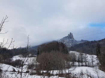
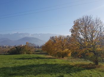
• Jolie balade dans les Vouillants démarrée à 11h30 à la découverte de l'ancienne voie du tram menant dans le Vercors. ...
Marche
• départ de Garllett terminus du Bus 19
Marche nordique
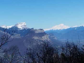
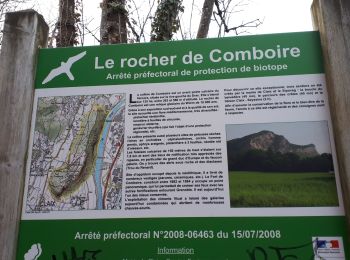
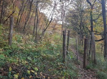
• A faire par temps sec en particulier pour le sentier entre Pré-Nouvel et Cossey, et la descente des crêtes de Comboir...
Marche nordique
• L'allée de la Balme est l'occasion de peaufiner le geste de la marche nordique dans un cadre superbe. Vu un nichoir ...
Marche
• Une belle boucle au dessus de Seyssins. Merci à Françoisfrt pour sa trace et NiniMD38 de m'avoir accompagné (Pseudos...
Marche nordique
• Un de plus ! Avec variante !
Marche
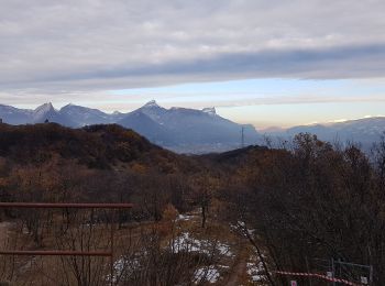
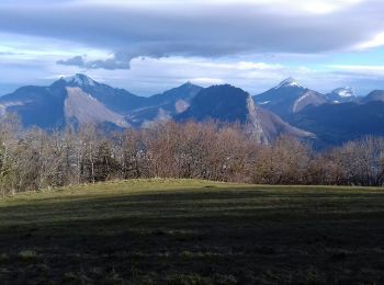
• Bon.....Presque 1h et presque 1 km... On fait au mieux .... Très beaux paysages d automne.
Marche
• Bon.....Presque 1h et presque 1 km... On fait au mieux .... Très beaux paysages d automne.

Marche
Marche nordique
• Une variante intéressante autour de la voie du tram.

Course à pied
Marche
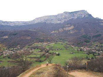
• Nouvel itinéraire au départ de Pré Nouvel. La montée est progressive et rejoint les itinéraires classiques pour rejoi...
Trail
Marche nordique
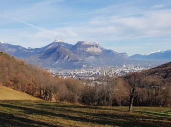
• Circuit bien apprécié des marcheurs nordiques, la montée est progressive jusqu'aux crêtes, petit AR sur celles -ci av...
Marche nordique
• Echauffements et étirements compris dans le temps total Echauffements faits le long de la piste cyclable Etirements e...
Marche nordique
• Au départ des Hauts de Seyssins, belle boucle jusqu'au Ravaud. Descente par un nouveau chemin bien adaptée à la MN m...
Marche nordique
20 randonnées affichées sur 72
Application GPS de randonnée GRATUITE
 SityTrail
IGN / Instituts géographiques
SityTrail World
Le monde est à vous