


47 km | 55 km-effort
Inconnu : découvrez les meilleures randonnées : 5 vélo, 15 v.t.t. et 4 vélo électrique. Tous ces circuits, parcours, itinéraires et activités en plein air sont disponibles dans nos applications SityTrail pour smartphones et tablettes.
V.T.T.


V.T.T.
• VTT AE MOUSTACHE Lasai...
V.T.T.
• VTT AE MOUSTACHE Lasai...
V.T.T.
• VTT AE MOUSTACHE
V.T.T.
• VTT AE MOUSTACHE
V.T.T.
• VTT AE MOUSTACHE
V.T.T.
• VTT AE MOUSTACHE
V.T.T.
• VTTAE MOUSTACHE
V.T.T.
• VTTAE MOUSTACHE
V.T.T.
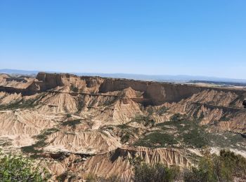
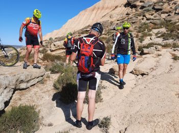
• Bzrdenas sud
V.T.T.
V.T.T.
• Festival de singles avec vue sur la côte Basque.Descente technique du Xoldokogaina.
V.T.T.
V.T.T.
V.T.T.
Vélo
Vélo
Vélo
V.T.T.
V.T.T.
20 randonnées affichées sur 20
Application GPS de randonnée GRATUITE
 SityTrail
IGN / Instituts géographiques
SityTrail World
Le monde est à vous