


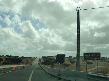
16,8 km | 20 km-effort
Beja : découvrez les meilleures randonnées : 43 pédestres et 2 à vélo ou VTT. Tous ces circuits, parcours, itinéraires et activités en plein air sont disponibles dans nos applications SityTrail pour smartphones et tablettes.
A pied


• Randonnée créée par ICNF. Symbole: Yellow over Red
Marche
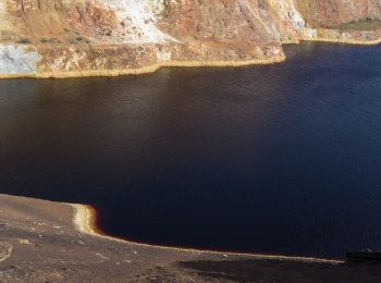
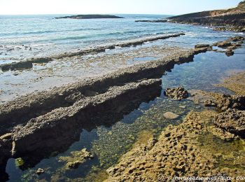
• Grand beau, peu de sable, je me suis écarté du chemin côtier, juste 100m à l'intérieur, tranquille. Le sens normal de...
Marche
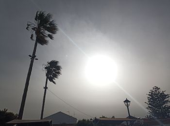
• Petite mais pénible cette étape d'aujourd'hui. 20km de chemin ensablé sur le haut des falaises, Avec le poids du sac,...
A pied
A pied
• Randonnée créée par Câmara Municipal de Beja.
A pied
A pied
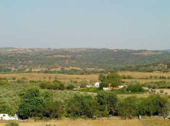
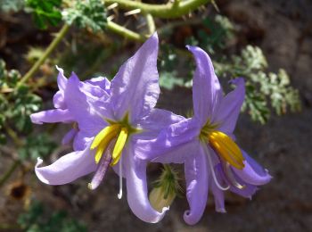
• Deixando para trás a povoação de Corte Gafo de Baixo, o percurso segue por uma paisagem de montado de azinho que dá l...
A pied
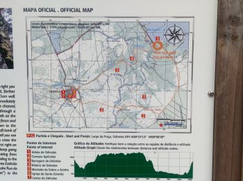
• Randonnée créée par Parque Natural do Vale do Guadiana.

A pied
• Randonnée créée par Câmara Municipal de Beja.
A pied
• Randonnée créée par Câmara Municipal de Beja.
Autre activité
Marche

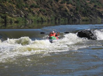
V.T.T.
• deni
A pied
A pied
A pied
A pied

Marche
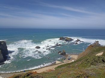
• 20/05 matin 1/2 étape Départ Cabo Sardao en direction de Entrada da Barca.L'itinéraire pénétrant dans les terres et l...
Marche
• sortie du 20/05 après-midi En complément de Cabo Sardao Parcours circulaire du sentier des pêcheurs
Marche
• 21/05 Départ Zambujeira,parking du haut de la falaise. Comme tout le reste, très bel itinéraire
20 randonnées affichées sur 46
Application GPS de randonnée GRATUITE
 SityTrail
IGN / Instituts géographiques
SityTrail World
Le monde est à vous