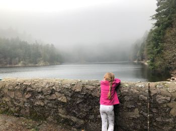
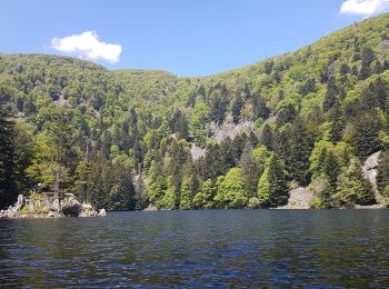
Mittlach, Haut-Rhin, A pied : Les meilleures randonnées, itinéraires, parcours, balades et promenades

5 commentaires

Mittlach : découvrez les meilleures randonnées : 2 a pied, 74 marche, 1 marche nordique et 1 course à pied. Tous ces circuits, parcours, itinéraires et activités en plein air sont disponibles dans nos applications SityTrail pour smartphones et tablettes.


Les meilleurs parcours (77)
Randonnée Marche Mittlach - 2023-09-24 Marche Mittlach 5 Lacs - Photo
Marche 24.603
Km
GUIDE

Marche

Moyen
Mittlach, Grand Est, Haut-Rhin, France
25 km | 41 km-effort
9h 19min
1232 m
1233 m
Oui
holtzv

• Boucle à la journée au départ de Mittlach en passant par 5 lacs : Fischboedle, Schiessrothried, Lande, Blanchemer et ...
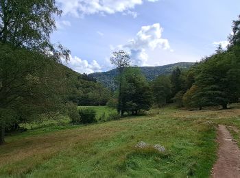
Randonnée Marche Mittlach - VOSGES 2023 - MITTLACH - Vallée de la Wormsa - Photo
Marche 11.499
Km
GUIDE

Marche

Moyen
Mittlach, Grand Est, Haut-Rhin, France
11,5 km | 17,9 km-effort
3h 29min
483 m
483 m
Oui
Michel1963

Randonnée Marche Mittlach - Mittlach 17/06/23 - Photo
Marche 11.391
Km

Marche

Difficile
(1)
Mittlach, Grand Est, Haut-Rhin, France
11,4 km | 18 km-effort
3h 35min
498 m
497 m
Oui
fario

• Balade en foret pendant un séjour en Alsace Belle foret mais vraiement très sec pour un mois de Juin.
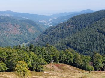
Randonnée Marche Mittlach - Mittlach Crête Steiwasen - Photo
Marche 16.997
Km

Marche

Difficile
Mittlach, Grand Est, Haut-Rhin, France
17 km | 27 km-effort
4h 33min
757 m
758 m
Oui
oscar1

• Randonnée qui débute par une montée sur plusieurs Kms en passant par le lac d'Altenweiher.Arrivée sur la crête une su...
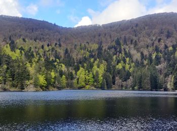
Randonnée Marche Mittlach - 2021-05-23 Marche Mittlach Rothenbachkopf - Photo
Marche 18.079
Km
GUIDE

Marche

Très difficile
Mittlach, Grand Est, Haut-Rhin, France
18,1 km | 33 km-effort
7h 30min
1125 m
1127 m
Oui
holtzv

Randonnée Marche Mittlach - schnepfenried - Photo
Marche 5.153
Km

Marche

Moyen
(1)
Mittlach, Grand Est, Haut-Rhin, France
5,2 km | 7,8 km-effort
1h 40min
199 m
199 m
Oui
philippe2434

Randonnée Marche Mittlach - De Mittlach au lac de Fischboedle par la vallée de la Wormsa - Photo
Marche 7.01
Km

Marche

Moyen
Mittlach, Grand Est, Haut-Rhin, France
7 km | 12,1 km-effort
3h 0min
384 m
387 m
Oui
tracegps

• La vallée de la Wormsa se situe au fond de la vallée de Munster entre Metzeral et Mittlach. La vallée de la Wormsa es...
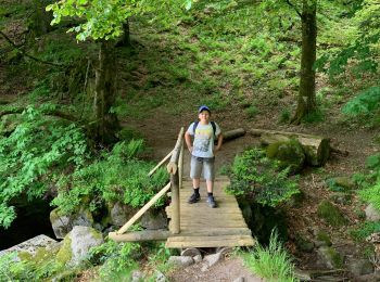
Randonnée Marche Mittlach - Lac altenweiher - Photo
Marche 5.243
Km

Marche

Moyen
Mittlach, Grand Est, Haut-Rhin, France
5,2 km | 8,8 km-effort
1h 59min
264 m
265 m
Oui
juliengsell

Randonnée Marche Mittlach - Les chaumes du Breutfirst - Photo
Marche 15.934
Km

Marche

Moyen
Mittlach, Grand Est, Haut-Rhin, France
15,9 km | 22 km-effort
4h 6min
469 m
469 m
Oui
francoisecarlier

Randonnée Marche Mittlach - schnepfenried tour par platzervasen - Photo
Marche 13.512
Km

Marche

Moyen
Mittlach, Grand Est, Haut-Rhin, France
13,5 km | 19,4 km-effort
4h 0min
442 m
448 m
Non
heurtinpatrick

Randonnée Marche Mittlach - Sapin Kolben Altenweiher - Photo
Marche 5.41
Km

Marche

Mittlach, Grand Est, Haut-Rhin, France
5,4 km | 9 km-effort
2h 4min
267 m
290 m
Oui
irftz

Randonnée Marche Mittlach - Lac d'Altenweiher - Photo
Marche 12.001
Km

Marche

Très difficile
Mittlach, Grand Est, Haut-Rhin, France
12 km | 20 km-effort
5h 34min
635 m
635 m
Oui
Claudele

Randonnée Marche Mittlach - Hochneck _ Mittlach - Photo
Marche 18.254
Km

Marche

Difficile
Mittlach, Grand Est, Haut-Rhin, France
18,3 km | 31 km-effort
5h 42min
984 m
985 m
Oui
bohynm

Randonnée Marche Mittlach - De Mittlach au lac de Fischboedle par la vallée de la Wormsa - Photo
Marche 7.01
Km
GUIDE

Marche

Facile
Mittlach, Grand Est, Haut-Rhin, France
7 km | 12,1 km-effort
3h 0min
384 m
387 m
Oui
Desrumaux

• Détails de la rando sur TraceGPS.com http://www.tracegps.com/fr/parcours/circuit11182.htm
Randonnée Marche Mittlach - Chapelle du Kolben - Rainkopf - Rothenbakopf - Photo
Marche 10.494
Km

Marche

Difficile
Mittlach, Grand Est, Haut-Rhin, France
10,5 km | 18,8 km-effort
3h 51min
620 m
622 m
Oui
lemuid

Randonnée Marche Mittlach - Wormsa - Sentier des Névés - Kerbholtz  - Photo
Marche 13.609
Km

Marche

Très difficile
Mittlach, Grand Est, Haut-Rhin, France
13,6 km | 25 km-effort
5h 40min
845 m
845 m
Oui
vaillantjm

• Il est préférable de commencer par la Wormsa et de poursuivre par la montée vers la Wormspel en raison des difficulté...

Randonnée Marche Mittlach - rondins de la Fecht Auberge du kastelberg - Photo
Marche 14.937
Km

Marche

Très difficile
Mittlach, Grand Est, Haut-Rhin, France
14,9 km | 26 km-effort
5h 49min
805 m
803 m
Oui
chanpat

• boucle départ chalet rondins de la flecht auberge du Kastelberg retour par lac d'altenweiher

Randonnée Marche Mittlach - Mittlach à col d'Hannenbrunnen  (réel)19 220m +754m - Photo
Marche 19.221
Km

Marche

Très difficile
Mittlach, Grand Est, Haut-Rhin, France
19,2 km | 30 km-effort
6h 47min
798 m
798 m
Oui
DanielROLLET

• 2024 07 15 - 08h00 à 15h30 - avec Marie Grand beau temps Départ Mittlach (hôtel Valneige) > vallée de Langenwasen > H...

Randonnée Marche Mittlach - Mittlach à Schmargult 14 260m   +1 047m - Photo
Marche 14.196
Km

Marche

Très difficile
Mittlach, Grand Est, Haut-Rhin, France
14,2 km | 26 km-effort
5h 53min
1047 m
374 m
Non
DanielROLLET

• 2024 07 16 - 8h05 à 14h45 - avec Marie Temps frais couvert et venteux surtout sur la crête Départ Mittlach de l'hôte...

Randonnée Marche Mittlach - Mittlach Blanchemer Rainkopf 14,5 km - Photo
Marche 14.405
Km

Marche

Très difficile
Mittlach, Grand Est, Haut-Rhin, France
14,4 km | 26 km-effort
5h 30min
835 m
839 m
Oui
vaillantjm

• Par le barrage d'Altenweiher et la ferme-auberge de Steinwasen

20 randonnées affichées sur 77

Application GPS de randonnée GRATUITE

Logo SityTrail SityTrail

IGN / Instituts géographiques

Télécharger SityTrail sur l'App Store Télécharger SityTrail sur Google Play

Logo SityTrail SityTrail World

Le monde est à vous

Télécharger SityTrail sur l'App Store Télécharger SityTrail sur Google Play Télécharger SityTrail sur Huawei AppGallery

Activités

Fermer
Mes abonnements