


9 km | 14,3 km-effort
Auvergne-Rhône-Alpes : découvrez les meilleures randonnées : 57 921 pédestres, 10 932 à vélo ou VTT et 3 254 parcours équestres. Tous ces circuits, parcours, itinéraires et activités en plein air sont disponibles dans nos applications SityTrail pour smartphones et tablettes.
Marche


• Monter par la piste jusqu’à Barmus. Continuer par une longue traversée à plat au-dessus des chalets des Mollays, puis...

V.T.T.
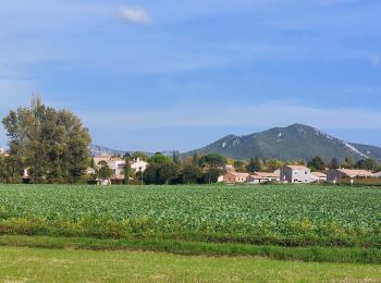
• Autour de Saint Péray, une boucle praticable toute l'année. (Source)
Marche
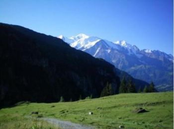
• JP gene
Marche
• Départ col du Granier, un peu de neige mais ça passe mais ça glisse aussi..
Marche
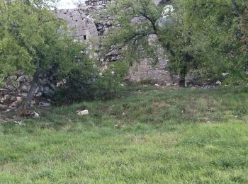
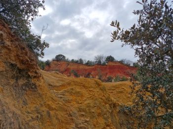
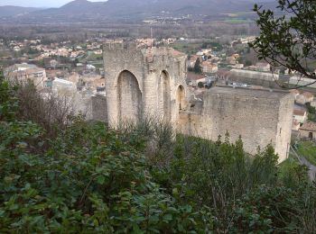
• Entre chemins forestiers et sentiers en crête , le bois Jamot offre de jolis points de vue sur le château medieval d...
Marche
• Complète et variée.Esprit Trail offre un large panorama des environs de Charols : ramières ,sentier en crête,forêt et...
Marche
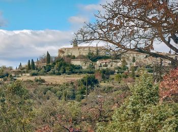
• Cet itinéraire pat au fil des petites routes portoises, laisser admirer le panorama à 360° de Portes-en-Valdaine : so...
Marche
• Belle petite Rando. Je trouve que sur le retour un peu trop de route .
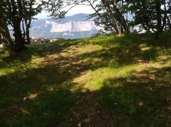
Marche
• Chapelle Saint-Christophe .Très beaux panoramas sur la vallée de la Drôme et sur les 3 Becs.
Marche
• Découvrir cette belle Randonnée en partant du village jusqu'au Val des Nymphes,les cuves lapidaires,ensuite arrivé au...
Marche
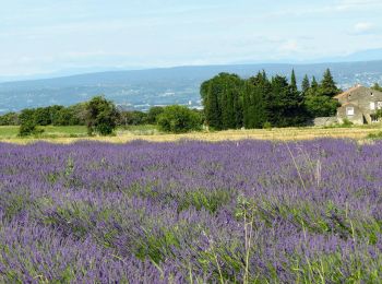
• Plateau du Rouvergue Les lavandes, les vignes, les blés Jolies vues sur la vallée du Rhône
A pied
• Randonnée créée par CD63.
Marche
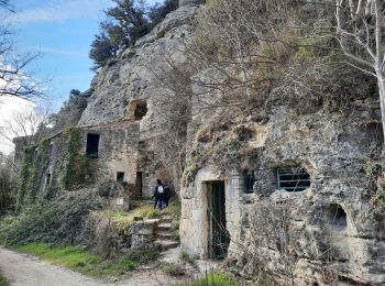
• A partir de La Garde-Adhémar, partez à la découverte du Val-des-Nymphes. Vous verrez des fouloirs a raisins en pierre...
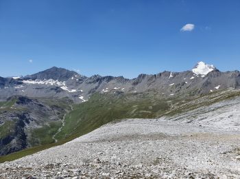
Marche
• Le départ se fait à partir du Bellevarde, afin de limiter la dénivelée positive. Malheureusement, la descente jusqu'à...
Marche
• Jack sylv
Marche
• Beaux panoramas. Ne pas hésiter à faire l'aller-retour jusqu'à la table d'interprétation de Serre Rouge. La Coupe de ...
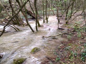
Marche
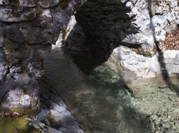
• 15 Traversées de rivière avant st remèze( après grosse pluie) JP gene

Marche
• JP gene
Marche
• gêne 05 02 2021
Marche
• Vu sur les Dentelles de Montmirail Le Mont Ventoux
20 randonnées affichées sur 81564
Application GPS de randonnée GRATUITE
 SityTrail
IGN / Instituts géographiques
SityTrail World
Le monde est à vous