


16,8 km | 20 km-effort
Villers-Cotterêts : découvrez les meilleures randonnées : 26 pédestres, 6 à vélo ou VTT et 1 parcours équestres. Tous ces circuits, parcours, itinéraires et activités en plein air sont disponibles dans nos applications SityTrail pour smartphones et tablettes.
Marche


• Circuit en forêt, assez facile, pas de grosse montés ni de grosses descentes. Quelques sentiers compliqué par la boue.
Marche
• voir aussi: foret-de-retz.fr/ objectifs: balayer les zones des Ventes Racines et du Chablis des Bouleaux avec les ca...
Marche
• Parcours assez boisé. Pas de difficultés majeures .
Marche
• objectifs: faire la Laie des Masures de la D80 (Route de Fleury) jusqu'au carrefour des Bordures (fin) et une partie ...
Marche
• objectifs: faire le Buisson de la Queue d'Ham de A à Z avec la Route de la Queue d'Ham et la Route du Champ Caron. D'...
A pied
• voir aussi: http://foret-de-retz.over-blog.com/2020/04/le-gr11a-dans-la-foret-de-retz.html Le tracé peut être invers...
Marche
• 01/ 2019 voir aussi: https://foret-de-retz.over-blog.com/2019/02/en-foret-de-retz_74_01_2019_la-laie-des-pots_13-km-...
Marche
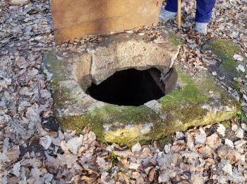
• 03/2016 voir aussi: batterie pour iphone indispensable. Objectif: relever les coordonnées GPS des regards à voûte...
Marche
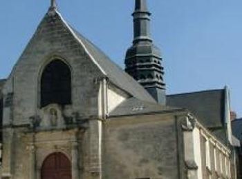
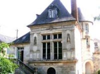
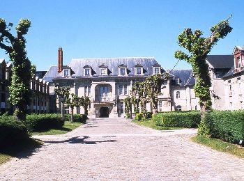
• Dans une clairière de la forêt de Retz, Villers-Cotterêts s'est développé autour du château de François 1er. Sous le...
Marche
• voir aussi: https://foret-de-retz.over-blog.com/2018/11/en-foret-de-retz_34_04_2012_les-salamandres-de-francois-1er.h...
Marche
Marche
Marche
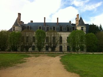
• Aux portes du vaste domaine forestier, le parc de « Mon Plaisir » était le point de départ des parties de chasse de F...
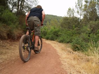
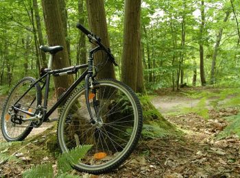
V.T.T.
• Long et physique, pour vététistes chevronnés, un circuit en terre royale et littéraire, dans une nature préservée… Au...
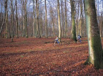
V.T.T.
• Eprouvant physiquement, technique en période de chasse en raison du passage des chevaux, ce parcours traverse un supe...
Marche
• Dans une clairière de la forêt de Retz, Villers-Cotterêts s'est développé autour du château de François 1er. Sous le ...
V.T.T.
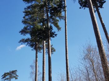
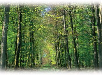
• Avec plus de 13 000 hectares, la forêt de Retz est le plus grand massif forestier de l'Aisne et l'une des plus import...
V.T.T.
• Avec plus de 13 000 hectares, la forêt de Retz est le plus grand massif forestier de l'Aisne et l'une des plus import...

Marche
• rando
Marche
• objectifs: balayer les zones des Ventes Racine, du Rond de la Reine et du Chablis des Bouleaux avec les carrefours no...
20 randonnées affichées sur 34
Application GPS de randonnée GRATUITE
 SityTrail
IGN / Instituts géographiques
SityTrail World
Le monde est à vous