


3 km | 3,9 km-effort
Cantabrie : découvrez les meilleures randonnées : 143 pédestres et 15 à vélo ou VTT. Tous ces circuits, parcours, itinéraires et activités en plein air sont disponibles dans nos applications SityTrail pour smartphones et tablettes.
Marche


•
Marche
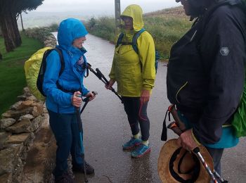
• Prévoir la montée en téléphérique. Attention parfois beaucoup de monde. Un petit peu long à la fin mais au moins 10 k...
Marche
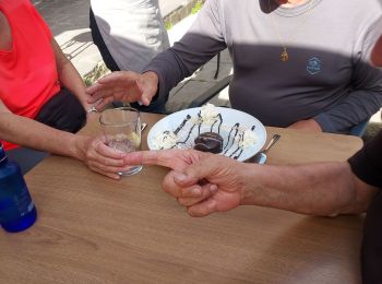
• Erreur, mise en pause 8 km 250m
A pied
• Randonnée créée par Ayuntamiento de Puente Viesgo. Site web: http://www.puenteviesgo.es/Turismo_RutasaPie.html
Marche
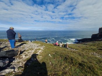
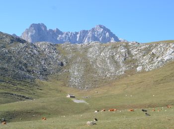
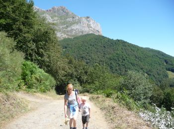
• montée par le téléphérique / monter jusqu'au cirque / puis retour jusqu'au depart du telepherique. paysage magnifiqu...
A pied
A pied
A pied
A pied
Autre activité
• Circular
Marche
• Réveilla à llanes
Marche
• Réveilla à llanes
Marche
• Santillana del mar à Revilla
Marche
• Santander À Santillana del mar
Marche
• Santona à Santander
Marche
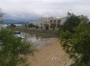
• Castro Urdiales à Santona
Marche
• Castro Urdiales à Santona
Marche
Marche

Marche
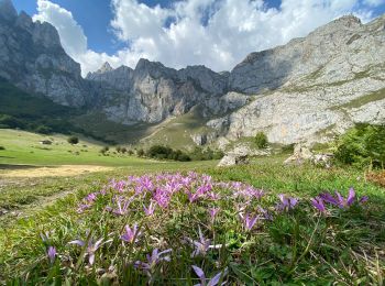
• Aller simple. ne randonnée assez courte pour avoir une belle vue sur le massif des Picos de Europa. Description De l...
20 randonnées affichées sur 174
Application GPS de randonnée GRATUITE
 SityTrail
IGN / Instituts géographiques
SityTrail World
Le monde est à vous