


3 km | 3,9 km-effort
Cantabrie : découvrez les meilleures randonnées : 129 marche et 14 a pied. Tous ces circuits, parcours, itinéraires et activités en plein air sont disponibles dans nos applications SityTrail pour smartphones et tablettes.
Marche


•
Marche
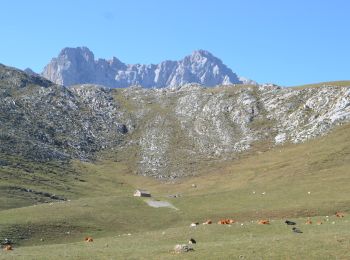
• Prévoir la montée en téléphérique. Attention parfois beaucoup de monde. Un petit peu long à la fin mais au moins 10 k...
Marche
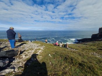
• Erreur, mise en pause 8 km 250m
A pied
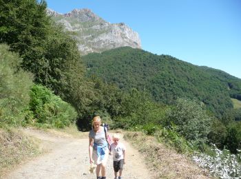
• Randonnée créée par Ayuntamiento de Puente Viesgo. Site web: http://www.puenteviesgo.es/Turismo_RutasaPie.html
Marche
• montée par le téléphérique / monter jusqu'au cirque / puis retour jusqu'au depart du telepherique. paysage magnifiqu...
A pied
A pied
A pied
A pied
Marche
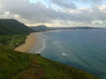
• Réveilla à llanes
Marche
• Réveilla à llanes
Marche
• Santillana del mar à Revilla
Marche
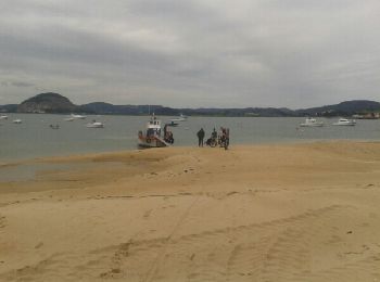
• Santander À Santillana del mar
Marche
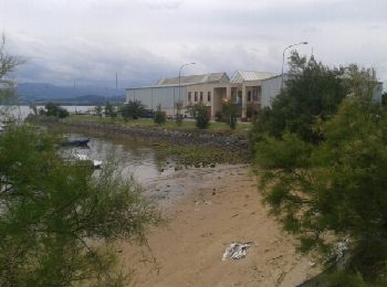
• Santona à Santander
Marche
• Castro Urdiales à Santona
Marche
• Castro Urdiales à Santona
Marche
Marche

Marche
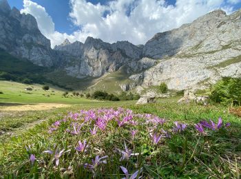
• Aller simple. ne randonnée assez courte pour avoir une belle vue sur le massif des Picos de Europa. Description De l...
A pied
20 randonnées affichées sur 143
Application GPS de randonnée GRATUITE
 SityTrail
IGN / Instituts géographiques
SityTrail World
Le monde est à vous