Eschweiler, Région urbaine d'Aix-la-Chapelle : Les meilleures randonnées, itinéraires, parcours, balades et promenades

Eschweiler : découvrez les meilleures randonnées : 8 pédestres. Tous ces circuits, parcours, itinéraires et activités en plein air sont disponibles dans nos applications SityTrail pour smartphones et tablettes.


Les meilleurs parcours (8)

Randonnée A pied Eschweiler - Heimatkundlicher Rundwanderweg Eschweiler - Photo
A pied 29.492
Km
GUIDE+

A pied

Difficile
Eschweiler, Rhénanie-du-Nord-Westphalie, Région urbaine d'Aix-la-Chapelle, Allemagne
29 km | 35 km-effort
7h 53min
400 m
359 m
Non
SityTrail - itinéraires balisés pédestres

• Randonnée créée par Eifelverein Eschweiler. Symbole: schwarze 5 auf weissem Grund
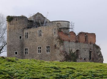
Randonnée A pied Eschweiler - Eschweiler Bachweg - Photo
A pied 22.018
Km
GUIDE+

A pied

Moyen
Eschweiler, Rhénanie-du-Nord-Westphalie, Région urbaine d'Aix-la-Chapelle, Allemagne
22 km | 26 km-effort
5h 52min
287 m
289 m
Oui
SityTrail - itinéraires balisés pédestres

• Randonnée créée par Eifelverein Eschweiler. Auf Wanderkarten des Eifelvereins seit 2014 nicht mehr enthalten Symbol...

Randonnée A pied Eschweiler - Eschweiler Mühlenweg - Photo
A pied 14.069
Km
GUIDE+

A pied

Facile
Eschweiler, Rhénanie-du-Nord-Westphalie, Région urbaine d'Aix-la-Chapelle, Allemagne
14,1 km | 16,2 km-effort
3h 41min
162 m
164 m
Oui
SityTrail - itinéraires balisés pédestres

• Randonnée créée par Eifelverein Eschweiler. Auf Wanderkarten des Eifelvereins seit 2014 nicht mehr enthalten Symbol...
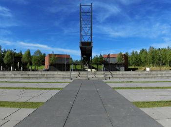
Randonnée A pied Eschweiler - Kleiner Seeweg - Photo
A pied 5.554
Km
GUIDE+

A pied

Facile
Eschweiler, Rhénanie-du-Nord-Westphalie, Région urbaine d'Aix-la-Chapelle, Allemagne
5,6 km | 6,1 km-effort
1h 23min
38 m
59 m
Non
SityTrail - itinéraires balisés pédestres

Randonnée A pied Eschweiler - Kirchspiel Walkingweg - Photo
A pied 7.044
Km
GUIDE+

A pied

Facile
Eschweiler, Rhénanie-du-Nord-Westphalie, Région urbaine d'Aix-la-Chapelle, Allemagne
7 km | 8 km-effort
1h 48min
70 m
70 m
Oui
SityTrail - itinéraires balisés pédestres

• Randonnée créée par Förderverein Gedächtniskapelle Kirchspiel Lohn e.V.. Symbole: Blau/Grün umrandetes Sechseck mit ...
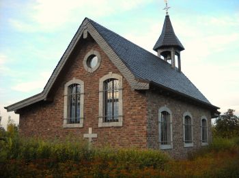
Randonnée A pied Eschweiler - Kirchspiel Wanderweg - Photo
A pied 11.036
Km
GUIDE+

A pied

Facile
Eschweiler, Rhénanie-du-Nord-Westphalie, Région urbaine d'Aix-la-Chapelle, Allemagne
11 km | 12,2 km-effort
2h 46min
89 m
89 m
Oui
SityTrail - itinéraires balisés pédestres

• Randonnée créée par Förderverein Gedächtniskapelle Kirchspiel Lohn e.V.. Symbole: Blau/Grün umrandetes Sechseck mit ...

Randonnée Marche Eschweiler - boucle Eschweiler - Photo
Marche 3.079
Km

Marche

Facile
Eschweiler, Rhénanie-du-Nord-Westphalie, Région urbaine d'Aix-la-Chapelle, Allemagne
3,1 km | 3,6 km-effort
1h 6min
41 m
42 m
Oui
Lychee

Randonnée Marche Eschweiler - boucle Hechweiler  - Photo
Marche 3.655
Km

Marche

Facile
Eschweiler, Rhénanie-du-Nord-Westphalie, Région urbaine d'Aix-la-Chapelle, Allemagne
3,7 km | 4,1 km-effort
58min
36 m
39 m
Oui
Lychee

8 randonnées affichées sur 8

Application GPS de randonnée GRATUITE

Logo SityTrail SityTrail

IGN / Instituts géographiques

Télécharger SityTrail sur l'App Store Télécharger SityTrail sur Google Play

Logo SityTrail SityTrail World

Le monde est à vous

Télécharger SityTrail sur l'App Store Télécharger SityTrail sur Google Play Télécharger SityTrail sur Huawei AppGallery

Activités

Fermer
Mes abonnements