


29 km | 35 km-effort
Eschweiler : découvrez les meilleures randonnées : 6 a pied et 2 marche. Tous ces circuits, parcours, itinéraires et activités en plein air sont disponibles dans nos applications SityTrail pour smartphones et tablettes.
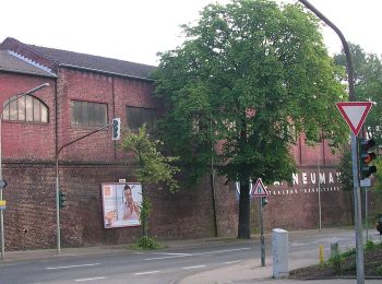
A pied


• Randonnée créée par Eifelverein Eschweiler. Symbole: schwarze 5 auf weissem Grund
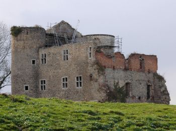
A pied
• Randonnée créée par Eifelverein Eschweiler. Auf Wanderkarten des Eifelvereins seit 2014 nicht mehr enthalten Symbol...
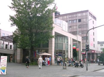
A pied
• Randonnée créée par Eifelverein Eschweiler. Auf Wanderkarten des Eifelvereins seit 2014 nicht mehr enthalten Symbol...
A pied
A pied
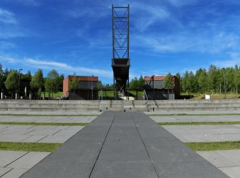
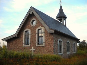
• Randonnée créée par Förderverein Gedächtniskapelle Kirchspiel Lohn e.V.. Symbole: Blau/Grün umrandetes Sechseck mit ...
A pied
• Randonnée créée par Förderverein Gedächtniskapelle Kirchspiel Lohn e.V.. Symbole: Blau/Grün umrandetes Sechseck mit ...

Marche
Marche
8 randonnées affichées sur 8
Application GPS de randonnée GRATUITE
 SityTrail
IGN / Instituts géographiques
SityTrail World
Le monde est à vous