


3,8 km | 5,4 km-effort
Etzelwang : découvrez les meilleures randonnées : 13 pédestres. Tous ces circuits, parcours, itinéraires et activités en plein air sont disponibles dans nos applications SityTrail pour smartphones et tablettes.
A pied


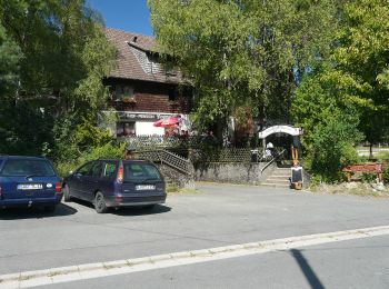
• Randonnée créée par unknown. abgeschlossen (Jan 2013 by cycling_zno) Symbole: Schwarzer Walker auf gelbem Grund
A pied
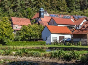
• Randonnée créée par unknown. abgeschlossen (Jan 2013 by cycling_zno) Symbole: Schwarzer Walker auf blauem Grund
A pied
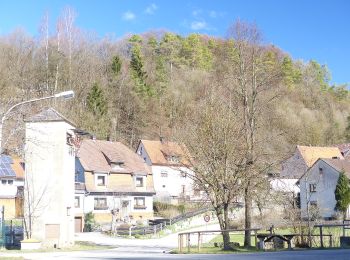
• Randonnée créée par unknown. abgeschlossen (Jan 2013 by cycling_zno) Symbole: Schwarzer Walker auf rotem Grund
A pied
• Randonnée créée par unknown. abgeschlossen (Jan 2013 by cycling_zno) Symbole: Schwarzer Walker auf grünem Grund
A pied
• Randonnée créée par nicht bekannt. abgeschlossen (Jan 2013 by cycling_zno) Symbole: Schwarze Burg auf oragenem Grund
A pied
• Randonnée créée par Fränkischer Albverein, Lehentaler Heimatverein e.V.. abgeschlossen (Jan 2013 by cycling_zno) Sy...

A pied
• Randonnée créée par Fränkischer Albverein; Lehentaler Heimatverein. abgeschlossen (Jan 2013 by cycling_zno) Symbole...
A pied
• Randonnée créée par Fränkischer Albverein, Lehentaler Heimatverein e.V.. abgeschlossen (Jan 2013 by cycling_zno) Sy...
A pied
• Randonnée créée par Brauerei Pürner. Symbole: Weiße 6 auf grünem Punkt
A pied
• Randonnée créée par VGN - Verkehrsverbund Nürnberg. abgeschlossen (Jan 2013 by cycling_zno) Symbole: Stiefel, Willi...
A pied
• Randonnée créée par Gemeinde Hirschbach. geprüft (Jan. 2015 by cycling_zno) Symbole: Weisse Zwei auf grünem Grund
A pied
• Randonnée créée par Gemeinde Hirschbach. geprüft (Jan. 2015 by cycling_zno) Symbole: Weisse 3 auf grünem Grund
A pied
• Randonnée créée par Gemeinde Etzelwang. abgeschlossen (Jan 2013 by cycling_zno) Symbole: Weiße 1 auf grünem Punkt
13 randonnées affichées sur 13
Application GPS de randonnée GRATUITE
 SityTrail
IGN / Instituts géographiques
SityTrail World
Le monde est à vous