Etzelwang, Landkreis Amberg-Sulzbach, A pied : Les meilleures randonnées, itinéraires, parcours, balades et promenades

Etzelwang : découvrez les meilleures randonnées : 13 a pied. Tous ces circuits, parcours, itinéraires et activités en plein air sont disponibles dans nos applications SityTrail pour smartphones et tablettes.


Les meilleurs parcours (13)
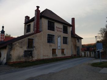
Randonnée A pied Etzelwang - Schlösser Runde - Photo
A pied 3.76
Km
GUIDE+

A pied

Facile
Etzelwang, Bavière, Landkreis Amberg-Sulzbach, Allemagne
3,8 km | 5,4 km-effort
1h 13min
120 m
122 m
Oui
SityTrail - itinéraires balisés pédestres

• Randonnée créée par unknown. abgeschlossen (Jan 2013 by cycling_zno) Symbole: Schwarzer Walker auf gelbem Grund
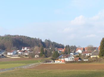
Randonnée A pied Etzelwang - Kirchenreinbach Runde - Photo
A pied 7.02
Km
GUIDE+

A pied

Facile
Etzelwang, Bavière, Landkreis Amberg-Sulzbach, Allemagne
7 km | 9,5 km-effort
2h 9min
186 m
186 m
Oui
SityTrail - itinéraires balisés pédestres

• Randonnée créée par unknown. abgeschlossen (Jan 2013 by cycling_zno) Symbole: Schwarzer Walker auf blauem Grund
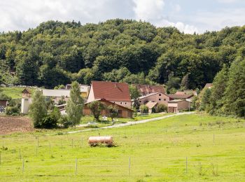
Randonnée A pied Etzelwang - Resen Runde - Photo
A pied 7.685
Km
GUIDE+

A pied

Facile
Etzelwang, Bavière, Landkreis Amberg-Sulzbach, Allemagne
7,7 km | 10,4 km-effort
2h 21min
200 m
204 m
Oui
SityTrail - itinéraires balisés pédestres

• Randonnée créée par unknown. abgeschlossen (Jan 2013 by cycling_zno) Symbole: Schwarzer Walker auf rotem Grund

Randonnée A pied Etzelwang - Drei Berge Runde - Photo
A pied 5.849
Km
GUIDE+

A pied

Facile
Etzelwang, Bavière, Landkreis Amberg-Sulzbach, Allemagne
5,8 km | 8,2 km-effort
1h 52min
180 m
174 m
Oui
SityTrail - itinéraires balisés pédestres

• Randonnée créée par unknown. abgeschlossen (Jan 2013 by cycling_zno) Symbole: Schwarzer Walker auf grünem Grund

Randonnée A pied Etzelwang - Burgen-und-Schlösser-Weg - Photo
A pied 12.868
Km
GUIDE+

A pied

Facile
Etzelwang, Bavière, Landkreis Amberg-Sulzbach, Allemagne
12,9 km | 18 km-effort
4h 6min
388 m
390 m
Oui
SityTrail - itinéraires balisés pédestres

• Randonnée créée par nicht bekannt. abgeschlossen (Jan 2013 by cycling_zno) Symbole: Schwarze Burg auf oragenem Grund

Randonnée A pied Etzelwang - Rundwanderweg 1 Kirchenreinbach - Hauseck - München - Photo
A pied 8.893
Km
GUIDE+

A pied

Facile
Etzelwang, Bavière, Landkreis Amberg-Sulzbach, Allemagne
8,9 km | 12 km-effort
2h 43min
229 m
236 m
Oui
SityTrail - itinéraires balisés pédestres

• Randonnée créée par Fränkischer Albverein, Lehentaler Heimatverein e.V.. abgeschlossen (Jan 2013 by cycling_zno) Sy...

Randonnée A pied Etzelwang - Rundwanderweg 4 Etzelwang - Tabernackel - Rupprechtstein - Photo
A pied 5.72
Km
GUIDE+

A pied

Facile
Etzelwang, Bavière, Landkreis Amberg-Sulzbach, Allemagne
5,7 km | 8,5 km-effort
1h 55min
207 m
203 m
Oui
SityTrail - itinéraires balisés pédestres

• Randonnée créée par Fränkischer Albverein; Lehentaler Heimatverein. abgeschlossen (Jan 2013 by cycling_zno) Symbole...
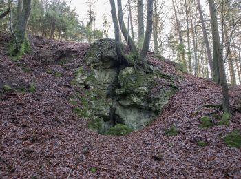
Randonnée A pied Etzelwang - Rundwanderweg 2 Rupprechtstein - Kirchenreinbach - Photo
A pied 12.986
Km
GUIDE+

A pied

Facile
Etzelwang, Bavière, Landkreis Amberg-Sulzbach, Allemagne
13 km | 18,4 km-effort
4h 11min
411 m
405 m
Oui
SityTrail - itinéraires balisés pédestres

• Randonnée créée par Fränkischer Albverein, Lehentaler Heimatverein e.V.. abgeschlossen (Jan 2013 by cycling_zno) Sy...

Randonnée A pied Etzelwang - Die waldige Sechs - Photo
A pied 7.381
Km
GUIDE+

A pied

Facile
Etzelwang, Bavière, Landkreis Amberg-Sulzbach, Allemagne
7,4 km | 10,8 km-effort
2h 26min
254 m
253 m
Oui
SityTrail - itinéraires balisés pédestres

• Randonnée créée par Brauerei Pürner. Symbole: Weiße 6 auf grünem Punkt
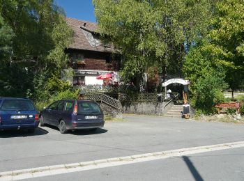
Randonnée A pied Etzelwang - Schmankerl-Weg - Photo
A pied 10.779
Km
GUIDE+

A pied

Facile
Etzelwang, Bavière, Landkreis Amberg-Sulzbach, Allemagne
10,8 km | 14,7 km-effort
3h 20min
298 m
294 m
Oui
SityTrail - itinéraires balisés pédestres

• Randonnée créée par VGN - Verkehrsverbund Nürnberg. abgeschlossen (Jan 2013 by cycling_zno) Symbole: Stiefel, Willi...

Randonnée A pied Etzelwang - Rundweg 2 - Felsgebiet Schwarzer Brand - Photo
A pied 9.875
Km
GUIDE+

A pied

Facile
Etzelwang, Bavière, Landkreis Amberg-Sulzbach, Allemagne
9,9 km | 14,7 km-effort
3h 20min
362 m
361 m
Oui
SityTrail - itinéraires balisés pédestres

• Randonnée créée par Gemeinde Hirschbach. geprüft (Jan. 2015 by cycling_zno) Symbole: Weisse Zwei auf grünem Grund
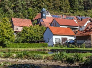
Randonnée A pied Etzelwang - Höhlenrundweg (Nr. 3) - Photo
A pied 7.572
Km
GUIDE+

A pied

Facile
Etzelwang, Bavière, Landkreis Amberg-Sulzbach, Allemagne
7,6 km | 10,2 km-effort
2h 19min
159 m
323 m
Non
SityTrail - itinéraires balisés pédestres

• Randonnée créée par Gemeinde Hirschbach. geprüft (Jan. 2015 by cycling_zno) Symbole: Weisse 3 auf grünem Grund
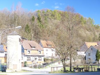
Randonnée A pied Etzelwang - Rundweg um Lehenhammer - Photo
A pied 3.87
Km
GUIDE+

A pied

Facile
Etzelwang, Bavière, Landkreis Amberg-Sulzbach, Allemagne
3,9 km | 5,8 km-effort
1h 19min
145 m
149 m
Oui
SityTrail - itinéraires balisés pédestres

• Randonnée créée par Gemeinde Etzelwang. abgeschlossen (Jan 2013 by cycling_zno) Symbole: Weiße 1 auf grünem Punkt

13 randonnées affichées sur 13

Application GPS de randonnée GRATUITE

Logo SityTrail SityTrail

IGN / Instituts géographiques

Télécharger SityTrail sur l'App Store Télécharger SityTrail sur Google Play

Logo SityTrail SityTrail World

Le monde est à vous

Télécharger SityTrail sur l'App Store Télécharger SityTrail sur Google Play Télécharger SityTrail sur Huawei AppGallery

Activités

Fermer
Mes abonnements