


10,9 km | 12,6 km-effort
Liège : découvrez les meilleures randonnées : 18 292 pédestres, 3 055 à vélo ou VTT et 508 parcours équestres. Tous ces circuits, parcours, itinéraires et activités en plein air sont disponibles dans nos applications SityTrail pour smartphones et tablettes.
Marche


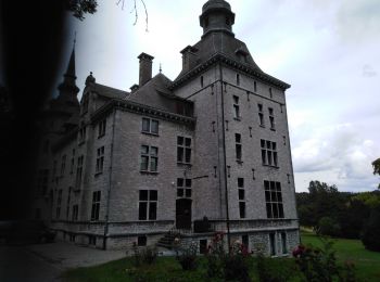
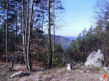
• Belle boucle
Marche
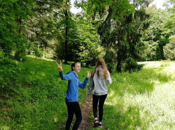
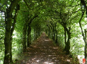
• Belle ballade en forêt.
Marche
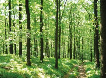
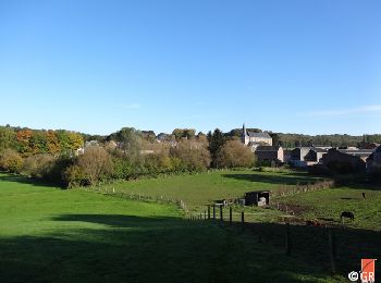
• Au départ de Theux, une magnifique promenade vous emmène au cœur du site Natura 2000 Bois de Staneux. Après avoir lon...

Marche
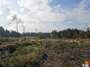
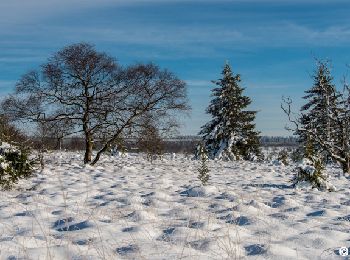
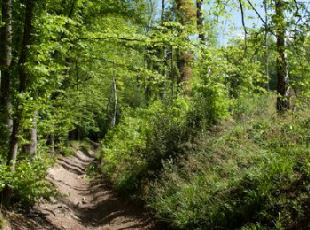
• Cette boucle à l’allure parfois « vosgienne », prenant son départ du Centre Nature de Botrange, vous fera découvrir d...
Marche
• Cette boucle à l’allure parfois « vosgienne », prenant son départ du Centre Nature de Botrange, vous fera découvrir d...
Marche
• Cette boucle à l’allure parfois « vosgienne », prenant son départ du Centre Nature de Botrange, vous fera découvrir d...
Marche
• Randonnée aux multiples facettes où le temps suspend son cours pour aiguiser nos sens à l’utilité de prendre son temp...
Marche
• Cette randonnée prend son départ à Wanne, petit village perché à 480 mètres d’altitude, sur les hauteurs de Trois-Pon...
Marche
• Au départ de Limbourg, cette randonnée vous invite à découvrir les beaux paysages qui séparent l’ancienne place-forte...
Marche
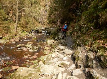
• Les alentours de Trois-Ponts et de Coo sont essentiellement forestiers. Le relief accentué y met en exergue de nombre...

Marche
• Cette randonnée, entièrement sur le territoire de la commune de Theux, traverse quelques beaux villages de l’entité t...
Marche
• Cette randonnée, entièrement sur le territoire de la commune de Theux, traverse quelques beaux villages de l’entité t...

Marche
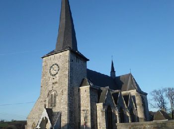
• Au départ de Soiron, village de style mosan, mais surtout l’un des Plus Beaux Villages de Wallonie, cette randonnée v...
Marche
• Au départ de Soiron, village de style mosan, mais surtout l’un des Plus Beaux Villages de Wallonie, cette randonnée v...
Marche
• Le dénivelé de cette boucle sera estompé par le spectacle offert par les nombreux panoramas et autres lieux variés au...
Marche
• Le dénivelé de cette boucle sera estompé par le spectacle offert par les nombreux panoramas et autres lieux variés au...
Marche
• D’abord sur le versant de la rive gauche, la randonnée vous emmènera dans le domaine universitaire du Sart-Tilman où ...
Marche
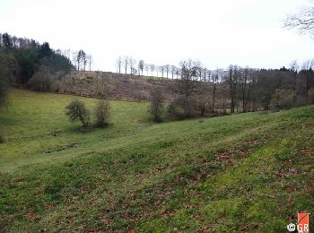
• Entre Ardennes et Condroz, cette randonnée autour de Hamoir offre des environnements variés : champs, bois, prairies,...
Marche
• Cette randonnée au parcours varié prend son départ à Tavier (entité d’Anthisnes) et vous révèlera des paysages condru...
Marche
• Des liaisons balisées entre les hameaux et villages de notre commune vous permettent de découvrir les villages de Rot...
20 randonnées affichées sur 22918
Application GPS de randonnée GRATUITE
 SityTrail
IGN / Instituts géographiques
SityTrail World
Le monde est à vous