


11,6 km | 16,5 km-effort
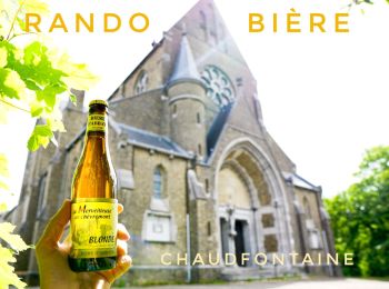
Chaudfontaine : découvrez les meilleures randonnées : 260 pédestres, 50 à vélo ou VTT et 3 parcours équestres. Tous ces circuits, parcours, itinéraires et activités en plein air sont disponibles dans nos applications SityTrail pour smartphones et tablettes.
Marche


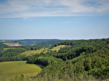
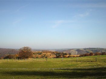
• Le dénivelé de cette boucle sera estompé par le spectacle offert par les nombreux panoramas et autres lieux variés au...
Marche
• Le dénivelé de cette boucle sera estompé par le spectacle offert par les nombreux panoramas et autres lieux variés au...
Marche
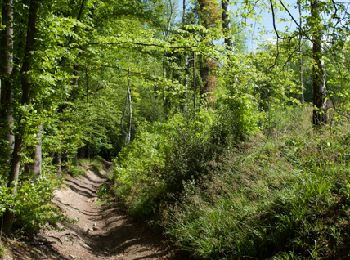
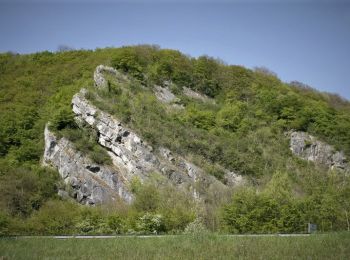
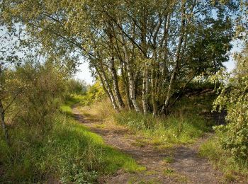
• Le site Natura 2000 "Basse vallée de la Vesdre" est remarquable pour les vastes étendues calaminaires qu’il abrite. D...

Marche
• Le dénivelé de cette boucle sera estompé par le spectacle offert par les nombreux panoramas et autres lieux variés au...
Marche
• 🅿️ Départ et Parking: Maison communale Parc Jean Gol 4053 Chaudfontaine (Embourg) ▶️ Suivre la balise » rectangle ...
Marche
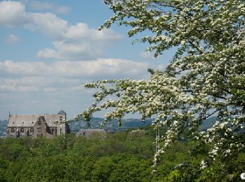
• "Cette promenade relie deux sommets, la ferme de Sainte-Anne qui se voit de très loin en Ardenne liégeoise et la Basi...
Marche
• 6,5 km pas 9 ... j ai enregistré dans ma voiture sur le chemin de retour désolé 😉
Marche
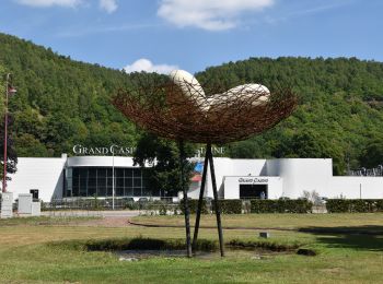
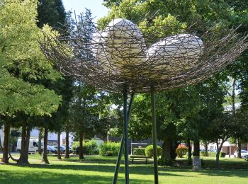
• balade du confluent, chaudfontaine - rectangle bleu 8
Marche
• 🌳☀️ Une jolie promenade offrant des vues sur Liège ! 🥰 🅿️ Départ et Parking: Rue des Combattants 26, 4051 Vaux-so...
Marche
• Dimanche 24 juillet 2022 : Chasse TOTEMUS à Chaudfontaine C'est sous un soleil de plomb que cette chasse a débuté dev...
Marche
• Le Trail Series de Chaudfontaine balisé du 27 juin au 3 juillet 2022. Un superbe parcours passant par Ninane et le Bo...
Marche
• Mercredi 27 avril 2022 : Chasse TOTEMUS au départ de Embourg (CHAUDFONTAINE) C'est sous un très joli soleil que nous ...
A pied
• Randonnée créée par Ourthe Vesdre Amblève. Comme son nom l'indique, cette promenade a pour but de donner rapidement ...
A pied
• Randonnée créée par Ourthe Vesdre Amblève. Cette promenade relie la vallée de la Walthine, en descendant vers la Ves...
A pied
• Randonnée créée par Ourthe Vesdre Amblève. Deux pôles d'intérêt dans cette promenade: le long parcours dans les bois...
A pied
• Randonnée créée par Ourthe Vesdre Amblève. Un cocktail de nature policée, épicée de saveurs rustiques et marqué par ...
A pied
• Randonnée créée par Ourthe Vesdre Amblève. Cette promenade permet d'apprécier le large plateau des Parcs d'Embourg q...

A pied
• Randonnée créée par Ourthe Vesdre Amblève. Deux rivières, l'Ourthe et la Vesdre, caractérisent cette promenade. Elle...
A pied
• Randonnée créée par Ourthe Vesdre Amblève. Par la seule route alpestre de la commune, l'on parvient à l'ancien fort ...
A pied
• Randonnée créée par Ourthe Vesdre Amblève. Cette balade consacrée à la houille qui fut, selon les archives à notre c...
20 randonnées affichées sur 326
Application GPS de randonnée GRATUITE
 SityTrail
IGN / Instituts géographiques
SityTrail World
Le monde est à vous