


10,8 km | 24 km-effort
Chili : découvrez les 6 meilleurs circuits de randonnée pédestre ou à vélo. Notre catalogue préparé à la main par nos randonneurs regorge de superbes paysages qui n'attendent qu'à être explorés. Téléchargez ces itinéraires dans SityTrail, notre application de GPS de randonnée gratuite disponible sur Android et iOS.
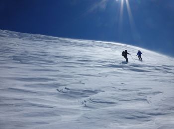
Ski de randonnée


• 10/09/2015 10:08
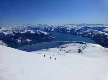
Ski de randonnée
• 12/09/2015 06:49
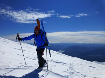
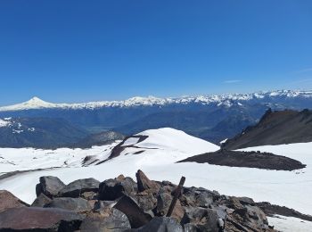
Sports d'hiver
• 20/09/2015 09:50
Ski de randonnée
• face ouest. 30 octobre, a pied jusqu'à 1700 m puis peau et crampons a partir de 2100 m
Ski de randonnée
• sollipuli face N NO, faite le 29/10. 2.5 km de marché. peut-être pas la meilleure trace de montée mais fonction des ...

Ski de randonnée
6 randonnées affichées sur 6
Application GPS de randonnée GRATUITE
 SityTrail
IGN / Instituts géographiques
SityTrail World
Le monde est à vous