


10,5 km | 19,6 km-effort
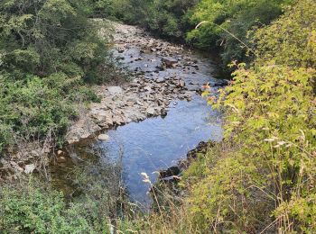
Chili : découvrez les 39 meilleurs circuits de randonnée pédestre ou à vélo. Notre catalogue préparé à la main par nos randonneurs regorge de superbes paysages qui n'attendent qu'à être explorés. Téléchargez ces itinéraires dans SityTrail, notre application de GPS de randonnée gratuite disponible sur Android et iOS.
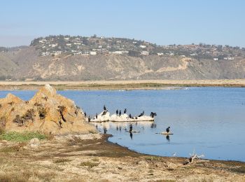
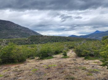
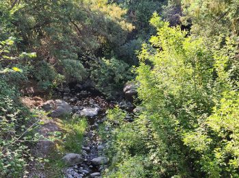
Marche


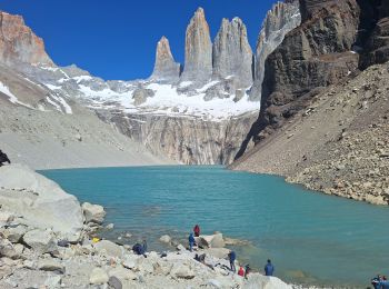
• mirador torre del Paine
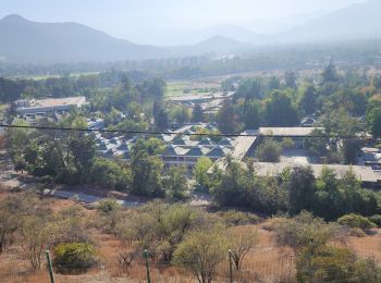
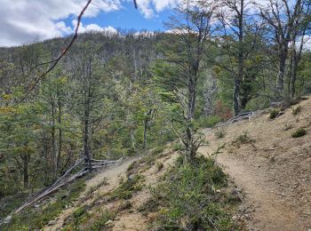
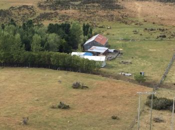
Marche
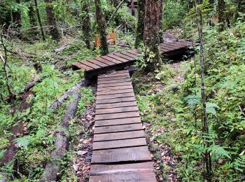
Marche
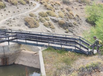
Marche
Marche
Marche
Marche
Marche
Marche
Marche
Marche
Marche

Marche

Marche
Marche
Marche
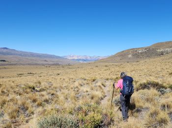
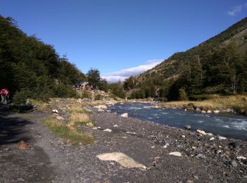
• Aller et retour avec belle montée...
Marche
Marche
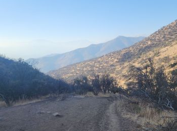
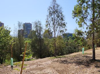
• jusqu'à la fin du sentier balisé
Marche

Marche
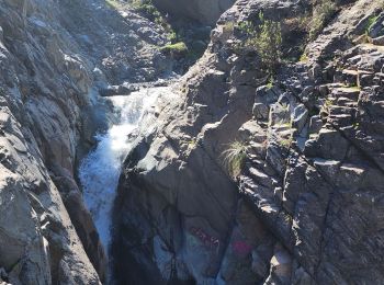
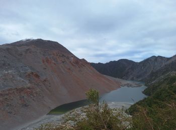
• Montée depuis Camp Grey à la troisième passerelle. Absolument sublime avec un temps magnifique. Magique !
20 randonnées affichées sur 39
Application GPS de randonnée GRATUITE
 SityTrail
IGN / Instituts géographiques
SityTrail World
Le monde est à vous