


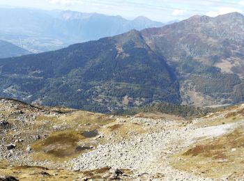
9,3 km | 21 km-effort
Bonneval : découvrez les meilleures randonnées : 8 marche et 2 marche nordique. Tous ces circuits, parcours, itinéraires et activités en plein air sont disponibles dans nos applications SityTrail pour smartphones et tablettes.
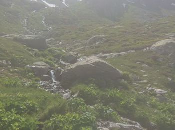
Marche


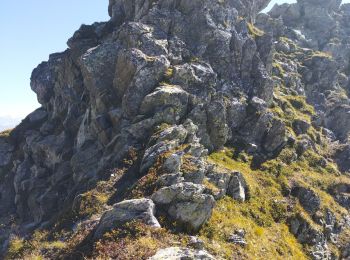
• Une gde partie de passe hors sentier ou traces d'animaux. Parfois il faut mettre les mains. Prévoir de bonnes chaussu...
Marche
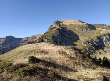
• Départ de Gelon. Attention au retour si vous passez par les crêtes, c'est aérien et il faut avoir le pied sûr. Ce son...
Marche
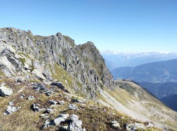
• Attention cette randonnée est hors sentiers et aérienne. La descente sous la pointe de Freydon est difficile. Un piol...
Marche
Marche

Marche
• Jolie boucle
Marche
• On part du pont de Gélon au dessus de Bonneval

Marche nordique
• Depuis P le L'achat 1.930
Marche nordique
• P L'achat 1.930 route col de la Madeleine
Marche
10 randonnées affichées sur 10
Application GPS de randonnée GRATUITE
 SityTrail
IGN / Instituts géographiques
SityTrail World
Le monde est à vous