


9,5 km | 21 km-effort
Celliers : découvrez les meilleures randonnées : 34 marche. Tous ces circuits, parcours, itinéraires et activités en plein air sont disponibles dans nos applications SityTrail pour smartphones et tablettes.
Marche


• Traversée pour ce beau sommet en extrémité du massif de la Maurienne. Le départ à partir du Col de la Madeleine empru...
Marche
• Toujours une randonnée classique du massif depuis l'arrivée du télécabine en boucle avec redescente au village par le...
Marche
• Très facile. Temps calculé avec un enfant de 4 ans. Prévoir 2h30
Marche

Marche
• piste vers Valmorel
Marche
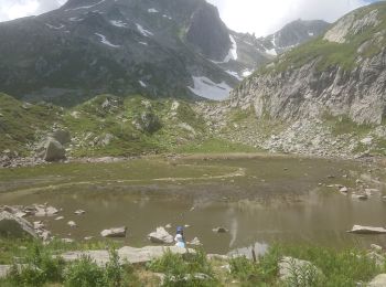
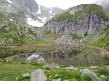
• lac branlay

Marche
Marche
Marche
• belle rando sportive
Marche
• superbe point de vue en 360 degré au Cheval Noir
Marche
• départ sur la route du refuge "le Logis des fées" (après le village le plus haut de Celliers) vers le lac le Branlay,...
Marche
• Dernière montée un peu difficile mais ça en vaut la peine.
Marche
Marche
Marche
Marche
Marche
Marche
Marche
Marche
20 randonnées affichées sur 34
Application GPS de randonnée GRATUITE
 SityTrail
IGN / Instituts géographiques
SityTrail World
Le monde est à vous