
- Randonnées
- A pied
- Allemagne
- Rhénanie-Palatinat
- Südwestpfalz
Südwestpfalz, Rhénanie-Palatinat, A pied : Les meilleures randonnées, itinéraires, parcours, balades et promenades
Südwestpfalz : découvrez les meilleures randonnées : 128 a pied et 12 marche. Tous ces circuits, parcours, itinéraires et activités en plein air sont disponibles dans nos applications SityTrail pour smartphones et tablettes.
Les meilleurs parcours (140)
Km
Marche


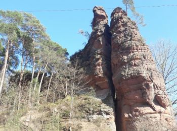
• Faite le 09/04/2017 avec notre fils Théo de 12 ans et nos amis Eléonore, Jennifer, Bernard et Rémy. Durée indiquée po...
Km
A pied


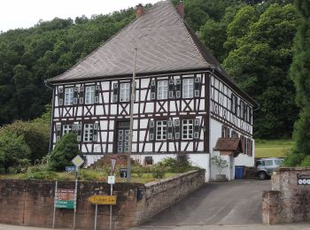
• Randonnée créée par PWV. Symbole: Auf Buntsandsteinfels sitzende Eule
Km
A pied


• Randonnée créée par Club Vosgien.

Km
A pied


• Randonnée créée par Ortsgemeinde Maßweiler.

Km
A pied


• Randonnée créée par Club Vosgien.

Km
A pied


• Randonnée créée par PWV.
Km
A pied


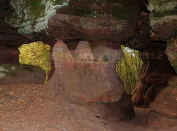
• Randonnée créée par PWV.
Km
A pied


• Randonnée créée par Tourist Information Dahner Felsenland. Symbole: Stilisierter weißer Felsen mit Gipfelkreuz über ...

Km
A pied


• Randonnée créée par PWV. formerly marked as (2) Symbole: Fachwerkhaus mit stilisiertem Laubbaum "Schwarz-Rot-Gold" ...
Km
A pied


• Randonnée créée par Tourist-Information Pirmasens-Land. Symbole: 3 stilisierte rote Felsen über stilsiertem grünem W...
Km
A pied


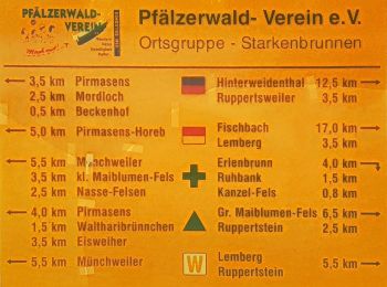
• Randonnée créée par Stadt Pirmasens. Symbole: Stilisiertes rotes Felsentour auf weißem Grund
Km
A pied


• Symbole: stilisiertes S auf blauem Hintergrund
Km
A pied


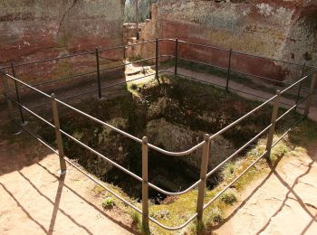
• Randonnée créée par Tourist Information Dahner Felsenland. Symbole: stilisierte weiße Burgengruppe auf braunem Grund...
Km
A pied


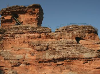
• Randonnée créée par Tourist Information Dahner Felsenland. Symbole: schwarze 4 auf weißem Kreis, oben steht halbrund...

Km
A pied


• Randonnée créée par Tourist Information Dahner Felsenland. Symbole: Stilisierte weiße Bergsilhouette mit Felsen auf ...

Km
A pied


• Randonnée créée par Tourist Information Dahner Felsenland. Symbole: Stilisierte weiße Burg auf Hügel (Drachenfels) a...
Km
A pied


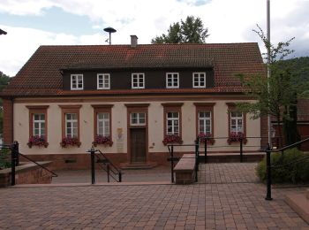
• Randonnée créée par Verkehrsverein Erfweiler.
Km
A pied


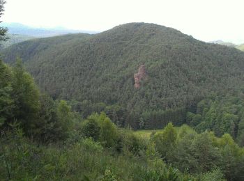
• Randonnée créée par Verkehrsverein Erfweiler.

Km
A pied


• Randonnée créée par Verkehrsverein Erfweiler.
Km
A pied


• Randonnée créée par Verkehrsverein Erfweiler.
20 randonnées affichées sur 140
Application GPS de randonnée GRATUITE
Activités
Régions proches
- Bobenthal
- Bruchweiler-Bärenbach
- Bundenthal
- Busenberg
- Clausen
- Dahn
- Darstein
- Dimbach
- Eppenbrunn
- Erfweiler
- Erlenbach bei Dahn
- Fischbach bei Dahn
- Hauenstein
- Heltersberg
- Hilst
- Hinterweidenthal
- Hirschthal
- Höheinöd
- Hornbach
- Käshofen
- Kröppen
- Leimen
- Lemberg
- Ludwigswinkel
- Lug
- Maßweiler
- Münchweiler an der Rodalb
- Niederschlettenbach
- Nothweiler
- Rodalben
- Rumbach
- Schindhard
- Schönau (Pfalz)
- Schwanheim
- Schweix
- Spirkelbach
- Trulben
- Waldfischbach-Burgalben
- Wallhalben
- Wilgartswiesen


 SityTrail


