![](/images/other/stat-length.png)
- Randonnées
- A pied
- Allemagne
- Rhénanie-Palatinat
- Südwestpfalz
- Nothweiler
Nothweiler, Südwestpfalz, A pied : Les meilleures randonnées, itinéraires, parcours, balades et promenades
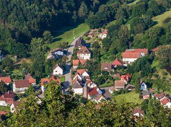
Nothweiler : découvrez les meilleures randonnées : 2 a pied. Tous ces circuits, parcours, itinéraires et activités en plein air sont disponibles dans nos applications SityTrail pour smartphones et tablettes.
Les meilleurs parcours (2)
![Randonnée A pied Nothweiler - Wegelnburg-Tour - Photo](https://media.geolcdn.com/t/350/260/2fad2d9c-a93b-41ab-b1a4-910cffe4363f.jpeg&format=jpg&maxdim=2)
![A pied A pied](https://static1.geolcdn.com/sitytour/trail-icons/100.png)
Km
A pied
![](/images/other/stat-length.png)
![](https://static1.geolcdn.com/siteimages/upload/files/1508320355ic_sort_den_pos_24dp.png)
![](https://static1.geolcdn.com/siteimages/upload/files/1508320355ic_sort_den_neg_24dp.png)
![](https://static1.geolcdn.com/siteimages/upload/files/16400158638029165_repeat_loop_refresh_sync_direction_icon.png)
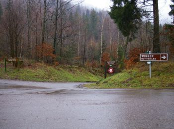
• Randonnée créée par Tourist Information Dahner Felsenland. Symbole: 3 stilisierte weiße Hügel im Hintergrund mit wei...
![Randonnée A pied Nothweiler - Grenzgängerweg / Le sentier à saute frontier - Photo](https://media.geolcdn.com/t/350/260/0ec53861-ac09-45f6-98f4-4da71460fa1b.jpeg&format=jpg&maxdim=2)
![A pied A pied](https://static1.geolcdn.com/sitytour/trail-icons/100.png)
Km
A pied
![](/images/other/stat-length.png)
![](https://static1.geolcdn.com/siteimages/upload/files/1508320355ic_sort_den_pos_24dp.png)
![](https://static1.geolcdn.com/siteimages/upload/files/1508320355ic_sort_den_neg_24dp.png)
![](https://static1.geolcdn.com/siteimages/upload/files/16400158638029165_repeat_loop_refresh_sync_direction_icon.png)
• Symbole: zwei stilisierte blaue Köpfe mit grünem Hut bzw. gelber Baskenmütze auf braunem Grund und in weißem Rahmen, ...
2 randonnées affichées sur 2
Application GPS de randonnée GRATUITE