Plech, Landkreis Bayreuth, A pied : Les meilleures randonnées, itinéraires, parcours, balades et promenades

Plech : découvrez les meilleures randonnées : 7 a pied. Tous ces circuits, parcours, itinéraires et activités en plein air sont disponibles dans nos applications SityTrail pour smartphones et tablettes.


Les meilleurs parcours (7)
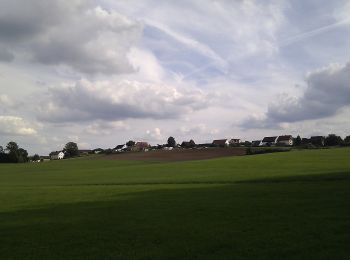
Randonnée A pied Plech - Schusterweg - Photo
A pied 3.579
Km
GUIDE+

A pied

Facile
Plech, Bavière, Landkreis Bayreuth, Allemagne
3,6 km | 4,4 km-effort
59min
62 m
59 m
Oui
SityTrail - itinéraires balisés pédestres

• Randonnée créée par Plecher Heimatverein. geprüft (Jan. 2015 by cycling_zno) Symbole: Grüner Ring auf weißem Grund

Randonnée A pied Plech - Geißbock-Runde - Photo
A pied 4.216
Km
GUIDE+

A pied

Facile
Plech, Bavière, Landkreis Bayreuth, Allemagne
4,2 km | 5,1 km-effort
1h 9min
65 m
65 m
Oui
SityTrail - itinéraires balisés pédestres

• Randonnée créée par Plecher Heimatverein. geprüft (Jan. 2015 by cycling_zno) Symbole: Schwarzer Walker auf blauem G...
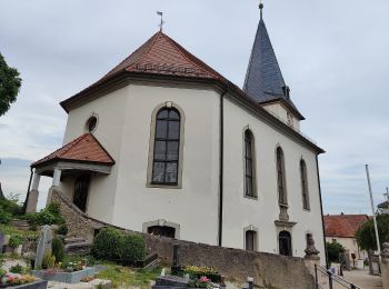
Randonnée A pied Plech - Löwen-Runde - Photo
A pied 6.309
Km
GUIDE+

A pied

Facile
Plech, Bavière, Landkreis Bayreuth, Allemagne
6,3 km | 8,2 km-effort
1h 52min
148 m
132 m
Non
SityTrail - itinéraires balisés pédestres

• Randonnée créée par Plecher Heimatverein. geprüft (Jan. 2015 by cycling_zno) Symbole: Schwarzer Walker auf gelbem G...
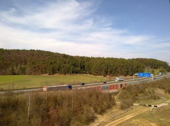
Randonnée A pied Plech - Wolfs-Runde - Photo
A pied 9.174
Km
GUIDE+

A pied

Facile
Plech, Bavière, Landkreis Bayreuth, Allemagne
9,2 km | 11,6 km-effort
2h 37min
179 m
180 m
Oui
SityTrail - itinéraires balisés pédestres

• Randonnée créée par Plecher Heimatverein. geprüft (Jan. 2015 by cycling_zno) Symbole: Schwarzer Walker auf grünem G...
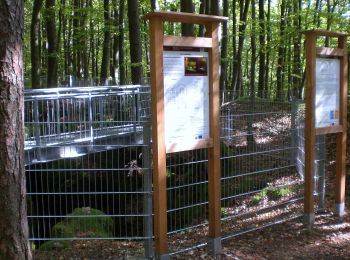
Randonnée A pied Plech - Plecher Höhlenweg - Photo
A pied 6.776
Km
GUIDE+

A pied

Facile
Plech, Bavière, Landkreis Bayreuth, Allemagne
6,8 km | 9,9 km-effort
2h 15min
244 m
207 m
Non
SityTrail - itinéraires balisés pédestres

• Randonnée créée par Plecher Heimatverein. geprüft (Jan. 2015 by cycling_zno) Symbole: Gelber Pfeil auf weißem Grund

Randonnée A pied Plech - Rundweg um den Großen Berg - Photo
A pied 3.436
Km
GUIDE+

A pied

Facile
Plech, Bavière, Landkreis Bayreuth, Allemagne
3,4 km | 4,8 km-effort
1h 5min
105 m
106 m
Oui
SityTrail - itinéraires balisés pédestres

• Randonnée créée par Plecher Heimatverein. geprüft (Jan. 2015 by cycling_zno) Symbole: Roter senkrechter Strich auf ...

Randonnée A pied Plech - Kulturlandschaftsweg Plech - Photo
A pied 3.122
Km
GUIDE+

A pied

Facile
Plech, Bavière, Landkreis Bayreuth, Allemagne
3,1 km | 4,6 km-effort
1h 2min
104 m
122 m
Non
SityTrail - itinéraires balisés pédestres

• Randonnée créée par Plecher Heimatverein. geprüft (Jan. 2015 by cycling_zno) Symbole: Schwarzes Logo auf gelbem Grund

7 randonnées affichées sur 7

Application GPS de randonnée GRATUITE

Logo SityTrail SityTrail

IGN / Instituts géographiques

Télécharger SityTrail sur l'App Store Télécharger SityTrail sur Google Play

Logo SityTrail SityTrail World

Le monde est à vous

Télécharger SityTrail sur l'App Store Télécharger SityTrail sur Google Play Télécharger SityTrail sur Huawei AppGallery

Activités

Fermer
Mes abonnements