


8,9 km | 23 km-effort
Viamala : découvrez les meilleures randonnées : 8 a pied et 14 marche. Tous ces circuits, parcours, itinéraires et activités en plein air sont disponibles dans nos applications SityTrail pour smartphones et tablettes.
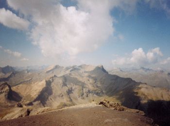
A pied


• Club Alpino Italiano Sezione di SEREGNO
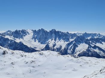
A pied
• Club Alpino Italiano Sezione di SEREGNO
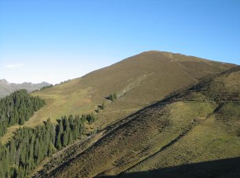
A pied
• Bischolapass-Präzer Höhi Symbole: weiss-rot-weiss
A pied
• Randonnée créée par BAW Bündner Wanderwege. Symbole: weiss-rot-weiss
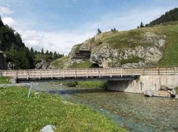
A pied
• Viamala-Schlucht-Zillis Symbole: weiss-rot-weiss

A pied
• Ober Rascheins-Glaspass Symbole: weiss-rot-weiss
A pied
• Ober Masügg-Unter Tschappina Symbole: weiss-rot-weiss

Marche
•
Marche
•
Marche
•
Marche
•
Marche
•
Marche
•
Marche
•
Marche
•
Marche
•
Marche
•
Marche
•
A pied
Marche
•
20 randonnées affichées sur 22
Application GPS de randonnée GRATUITE
 SityTrail
IGN / Instituts géographiques
SityTrail World
Le monde est à vous