![](/images/other/stat-length.png)
- Randonnées
- A pied
- Suisse
- Grisons
- Viamala
- Avers
Avers, Viamala, A pied : Les meilleures randonnées, itinéraires, parcours, balades et promenades
Avers : découvrez les meilleures randonnées : 2 a pied et 1 marche. Tous ces circuits, parcours, itinéraires et activités en plein air sont disponibles dans nos applications SityTrail pour smartphones et tablettes.
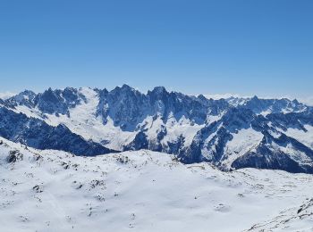
Les meilleurs parcours (3)
![Randonnée A pied Avers - Gletscherhorn - 3107 m - Photo](https://media.geolcdn.com/t/350/260/3073f255-d546-418f-a349-3171098e41f4.jpeg&format=jpg&maxdim=2)
![A pied A pied](https://static1.geolcdn.com/sitytour/trail-icons/100.png)
Km
A pied
![](/images/other/stat-length.png)
![](https://static1.geolcdn.com/siteimages/upload/files/1508320355ic_sort_den_pos_24dp.png)
![](https://static1.geolcdn.com/siteimages/upload/files/1508320355ic_sort_den_neg_24dp.png)
![](https://static1.geolcdn.com/siteimages/upload/files/16400158638029165_repeat_loop_refresh_sync_direction_icon.png)
• Club Alpino Italiano Sezione di SEREGNO
![Randonnée A pied Avers - Stallerberg - Bivio - Photo](https://media.geolcdn.com/t/350/260/0bdb3f46-1902-484d-9a5a-266769578b3b.jpeg&format=jpg&maxdim=2)
![A pied A pied](https://static1.geolcdn.com/sitytour/trail-icons/100.png)
Km
A pied
![](/images/other/stat-length.png)
![](https://static1.geolcdn.com/siteimages/upload/files/1508320355ic_sort_den_pos_24dp.png)
![](https://static1.geolcdn.com/siteimages/upload/files/1508320355ic_sort_den_neg_24dp.png)
![](https://static1.geolcdn.com/siteimages/upload/files/16400158638029165_repeat_loop_refresh_sync_direction_icon.png)
• Randonnée créée par BAW Bündner Wanderwege. Symbole: weiss-rot-weiss
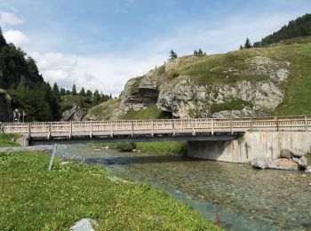
![Randonnée Marche Avers - Drei tägige Wanderung - Photo](https://media.geolcdn.com/t/350/260/ext.jpg?maxdim=2&url=https%3A%2F%2Fstatic1.geolcdn.com%2Fsiteimages%2Fupload%2Ffiles%2F1553511878bg_sport_marche.png)
![Marche Marche](https://static1.geolcdn.com/sitytour/trail-icons/101.png)
Km
Marche
![](/images/other/stat-length.png)
![](https://static1.geolcdn.com/siteimages/upload/files/1508320355ic_sort_den_pos_24dp.png)
![](https://static1.geolcdn.com/siteimages/upload/files/1508320355ic_sort_den_neg_24dp.png)
![](https://static1.geolcdn.com/siteimages/upload/files/16400158638029165_repeat_loop_refresh_sync_direction_icon.png)
• Von Juf vià Maloja nach Soglio und Castasegna
3 randonnées affichées sur 3
Application GPS de randonnée GRATUITE