


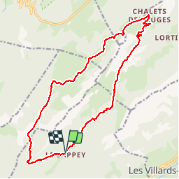

12,6 km | 21 km-effort

Usuario GUIDE


Aplicación GPS de excursión GRATIS
 SityTrail
IGN / Institutos geográficos
SityTrail World
El mundo es suyo
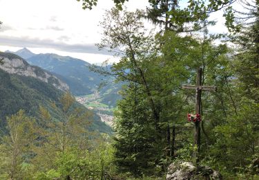
Ruta Senderismo de 19,1 km a descubrir en Auvergne-Rhône-Alpes, Alta Saboya, Thônes. Esta ruta ha sido propuesta por Kargil.
A démarrer par Le Sappey ou Le Crêt. Le sens importe peu mais le sens horaire est plus agréable.
Pas de difficulté particulière si ce n'est en amont du Col de la Buffaz très légèrement exposé.


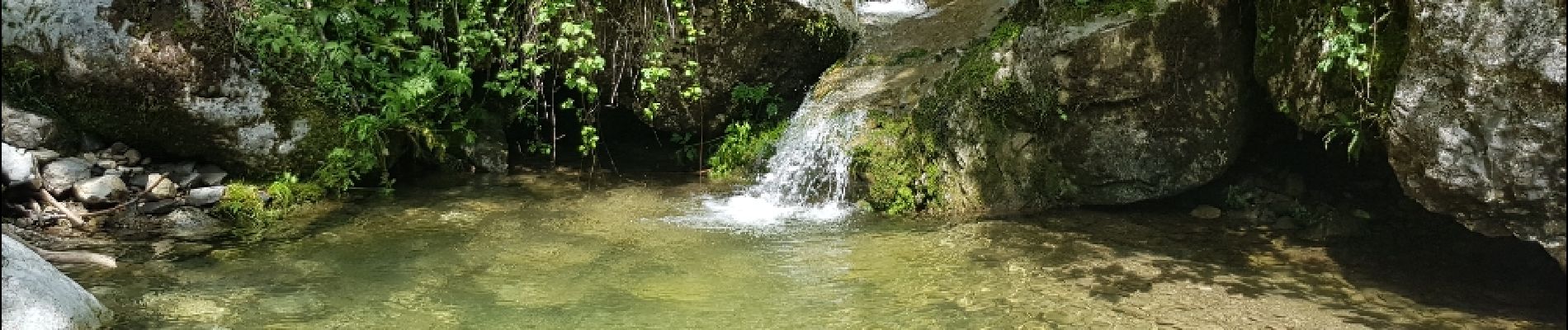
Senderismo

Senderismo

Raquetas de nieve

Senderismo
Senderismo
Senderismo
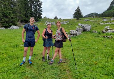
Senderismo

Senderismo
Senderismo