


9,5 km | 21 km-effort
Thônes: Descubra las mejores excursiones: 116 a pie y 5 en bici o bici de montaña. Todos estos circuitos, recorridos, itinerarios y actividades al aire libre están disponibles en nuestras aplicaciones SityTrail para smartphone y tablet.
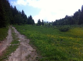
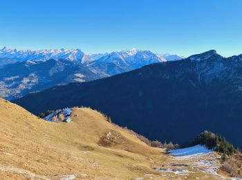
Senderismo


Senderismo
• A démarrer par Le Sappey ou Le Crêt. Le sens importe peu mais le sens horaire est plus agréable. Pas de difficulté pa...

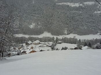
Raquetas de nieve
• Attention, le descente du Frassot dans le bois est assez raide (et peut se faire à ski s'il y a bcp de neige)

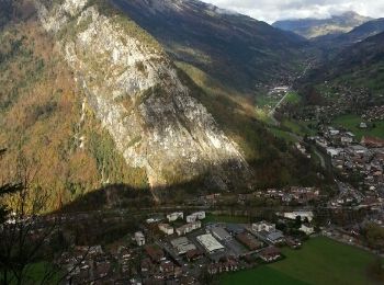
Senderismo
Senderismo
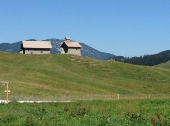
Senderismo

Senderismo
Senderismo
Bici de montaña
Senderismo
Senderismo
Raquetas de nieve
Senderismo
Senderismo
Esquí de fondo
Carrera
• En boucle depuis Thô nes
Senderismo

Senderismo
Senderismo
Senderismo
20 excursiones mostradas en 131
Aplicación GPS de excursión GRATIS
 SityTrail
IGN / Institutos geográficos
SityTrail World
El mundo es suyo