


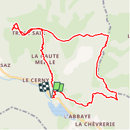

26 km | 53 km-effort

Usuario


Aplicación GPS de excursión GRATIS
 SityTrail
IGN / Institutos geográficos
SityTrail World
El mundo es suyo
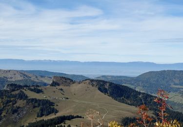
Ruta Otra actividad de 10,9 km a descubrir en Auvergne-Rhône-Alpes, Alta Saboya, Bellevaux. Esta ruta ha sido propuesta por leclaude74.
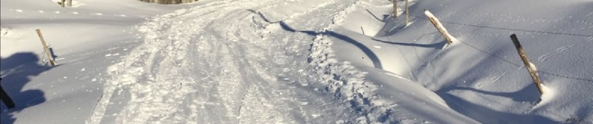
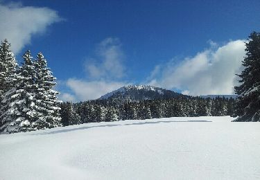
rando a ski conseiller de faire la descente côté montée car la boucle pour le retour est a faire si beaucoup de neige car descente dans les bois


Marcha nórdica
Senderismo

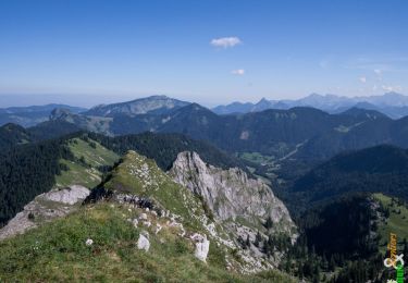
Senderismo
Senderismo

Carrera
Carrera
Raquetas de nieve
Senderismo
Senderismo