


26 km | 53 km-effort
Bellevaux: Descubra las mejores excursiones: 86 a pie y 2 en bici o bici de montaña. Todos estos circuitos, recorridos, itinerarios y actividades al aire libre están disponibles en nuestras aplicaciones SityTrail para smartphone y tablet.
Marcha nórdica


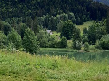
Senderismo

Senderismo
• Circuit
Senderismo
Otra actividad
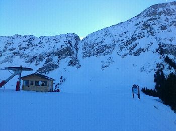
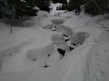
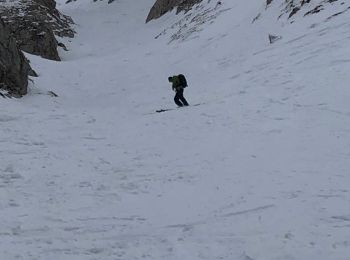
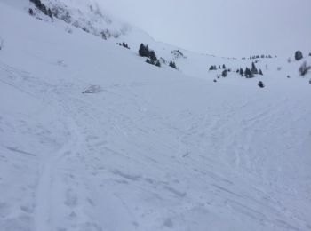
• rando a ski conseiller de faire la descente côté montée car la boucle pour le retour est a faire si beaucoup de neige...

Carrera
Carrera
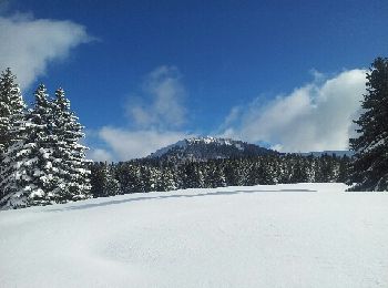
Raquetas de nieve
Senderismo
Senderismo
Esquí de fondo
Esquí de fondo
Raquetas de nieve
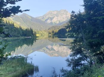
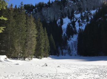
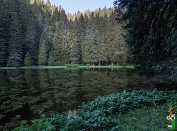
• Circuit facile jusqu'au pied du lac suivi de 10 minutes en aval et de 20 en amont du lac d'une zone raide et techniqu...
Senderismo
Senderismo
Raquetas de nieve
Senderismo
Senderismo
Senderismo
Senderismo
20 excursiones mostradas en 123
Aplicación GPS de excursión GRATIS
 SityTrail
IGN / Institutos geográficos
SityTrail World
El mundo es suyo