


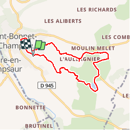


10,1 km | 16 km-effort

Usuario


Aplicación GPS de excursión GRATIS
 SityTrail
IGN / Institutos geográficos
SityTrail World
El mundo es suyo
Ruta Senderismo de 8,3 km a descubrir en Provenza-Alpes-Costa Azul, Altos Alpes, Saint-Bonnet-en-Champsaur. Esta ruta ha sido propuesta por Lesquems.
Très variée routes chemins champs et sous bois, des montées et descentes mais pas mal de plats


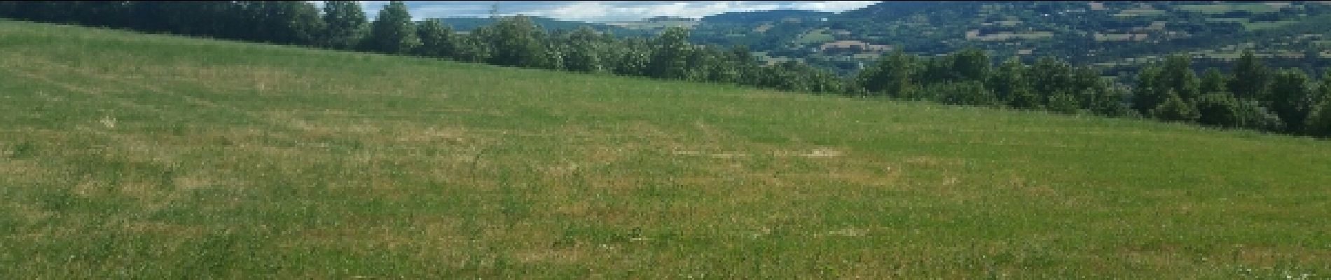
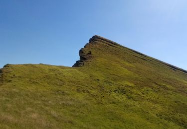
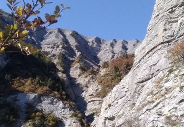
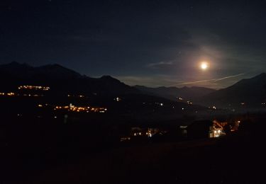
23 fotos en total. Haga clic en una foto para mostrarlas todas en la galería.

Senderismo

Senderismo
Senderismo
Senderismo
Senderismo
Senderismo
Senderismo
Senderismo

Senderismo