


10,1 km | 16 km-effort
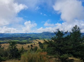
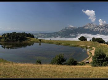
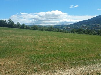
Saint-Bonnet-en-Champsaur: Descubra las mejores excursiones: 21 a pie, 16 en bici o bici de montaña y 1 recorridos ecuestres. Todos estos circuitos, recorridos, itinerarios y actividades al aire libre están disponibles en nuestras aplicaciones SityTrail para smartphone y tablet.
Senderismo


Senderismo
Senderismo
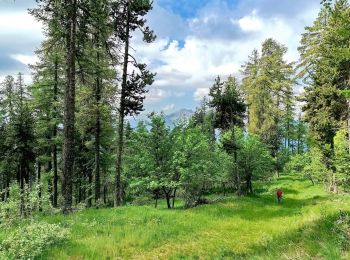
• Très variée routes chemins champs et sous bois, des montées et descentes mais pas mal de plats

Senderismo
Senderismo

Bici de montaña
Bici de montaña
Bici eléctrica
Bici eléctrica
Bici eléctrica

Senderismo
• Très variée routes chemins champs et sous bois, des montées et descentes mais pas mal de plats

Raquetas de nieve

Caballo
Senderismo
Senderismo

 23.951
sport
20.897
sport
Senderismo
Bici eléctrica
Bici de montaña
20 excursiones mostradas en 46
Aplicación GPS de excursión GRATIS
 SityTrail
IGN / Institutos geográficos
SityTrail World
El mundo es suyo