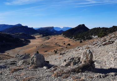
14,3 km | 31 km-effort
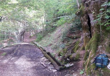
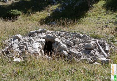
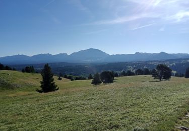
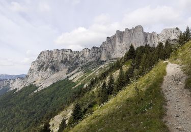
chichilianne pas de l'aiguille pas des bachassons
lmontbazon
Usuario
Longitud
17,9 km
Altitud máxima
1956 m
Desnivel positivo
968 m
Km-Effort
31 km
Altitud mínima
1070 m
Desnivel negativo
981 m
Boucle
No
Fecha de creación :
2015-09-27 00:00:00.0
Última modificación :
2015-09-27 00:00:00.0
6h10
Dificultad : Medio
Aplicación GPS de excursión GRATIS
A propósito
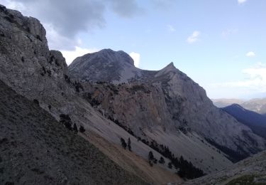
Ruta Senderismo de 17,9 km a descubrir en Auvergne-Rhône-Alpes, Isère, Chichilianne. Esta ruta ha sido propuesta por lmontbazon.
Localización
País:
France
Región :
Auvergne-Rhône-Alpes
Departamento/provincia :
Isère
Municipio :
Chichilianne
Localidad:
Unknown
Salida:(Dec)
Salida:(UTM)
700867 ; 4966231 (31T) N.
Comentarios
Excursiones cerca
Grand Ceymont par la face Sud
Senderismo
Difícil
(1)
Saint-Michel-les-Portes,
Auvergne-Rhône-Alpes,
Isère,
France
6h 0min
Sí
Le Platary
Senderismo
Medio
(2)
Chichilianne,
Auvergne-Rhône-Alpes,
Isère,
France
6,6 km | 12,1 km-effort
2h 29min
Sí
La Fontaine Pourrie - Hauts Plateaux Sud du Vercors
Senderismo
Medio
(2)
Chichilianne,
Auvergne-Rhône-Alpes,
Isère,
France
19,4 km | 33 km-effort
7h 45min
Sí
traversée Sud nord du Grand Veymont
Senderismo
Difícil
Gresse-en-Vercors,
Auvergne-Rhône-Alpes,
Isère,
France
26 km | 40 km-effort
10h 42min
No
14923554-Tour du Mont Aiguille
Senderismo
Muy difícil
(1)
Chichilianne,
Auvergne-Rhône-Alpes,
Isère,
France
17,7 km | 33 km-effort
7h 27min
Sí
Tour du Mont Aiguille
Senderismo
Difícil
Saint-Michel-les-Portes,
Auvergne-Rhône-Alpes,
Isère,
France
18,5 km | 34 km-effort
6h 20min
Sí
chichilianne archiane
Raquetas de nieve
Medio
(1)
Chichilianne,
Auvergne-Rhône-Alpes,
Isère,
France
18,9 km | 32 km-effort
8h 0min
No
Pas de Bachassons et de la Selle
Senderismo
Muy difícil
Saint-Michel-les-Portes,
Auvergne-Rhône-Alpes,
Isère,
France
13,1 km | 26 km-effort
7h 36min
Sí
Diois 2024 1ère journée
Senderismo
Medio
Chichilianne,
Auvergne-Rhône-Alpes,
Isère,
France
22 km | 35 km-effort
4h 59min
No