


6,6 km | 12,1 km-effort
Chichilianne: Descubra las mejores excursiones: 156 a pie, 7 en bici o bici de montaña y 8 recorridos ecuestres. Todos estos circuitos, recorridos, itinerarios y actividades al aire libre están disponibles en nuestras aplicaciones SityTrail para smartphone y tablet.
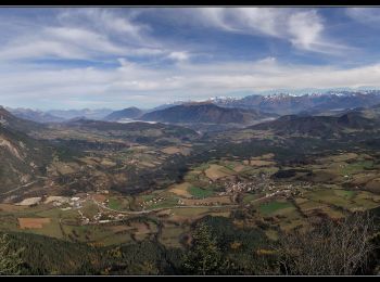
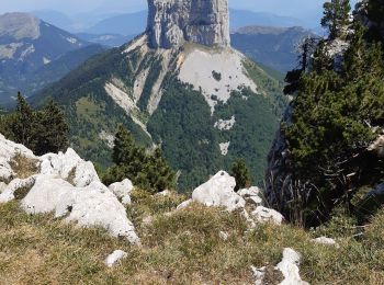
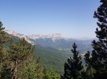
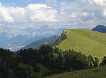
Senderismo


• Belle petite boucle - Très belle vue circulaire au sommet. Possible en raquettes. Si on veut continuer la crêt, il es...
Senderismo

Senderismo

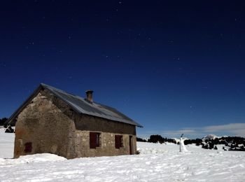
Raquetas de nieve
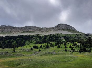
Senderismo
Senderismo
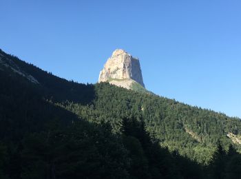
A pie
Senderismo
Senderismo
Senderismo
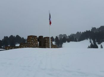
Raquetas de nieve
Senderismo
Senderismo
Senderismo

Senderismo
Senderismo
• petite boucle à la découverte des arbres de nos pentes des Aravis.
Senderismo

Senderismo
Senderismo
Senderismo
20 excursiones mostradas en 189
Aplicación GPS de excursión GRATIS
 SityTrail
IGN / Institutos geográficos
SityTrail World
El mundo es suyo