


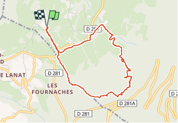


12,4 km | 21 km-effort

Usuario


Aplicación GPS de excursión GRATIS
 SityTrail
IGN / Institutos geográficos
SityTrail World
El mundo es suyo
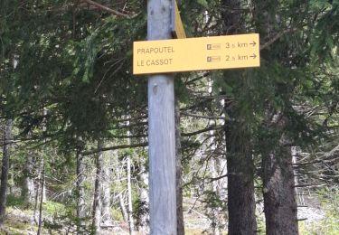
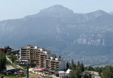
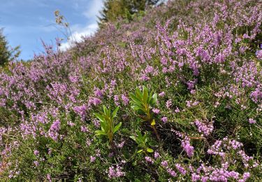
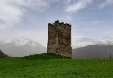
Ruta Senderismo de 5,1 km a descubrir en Auvergne-Rhône-Alpes, Isère, Theys. Esta ruta ha sido propuesta por walrou63.
Départ depuis le camping des 7 Laux, mais d'anciens chemins ont plus ou moins disparu avec l'exploitation forestière, ce qui a rendu cette sortie un peu Rock and Roll.


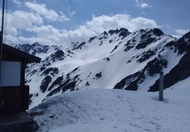
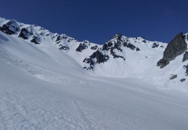
23 fotos en total. Haga clic en una foto para mostrarlas todas en la galería.

Senderismo

Esquí de fondo

Bici de montaña
Esquí de fondo
Esquí de fondo
Senderismo

sport
Senderismo
Senderismo