


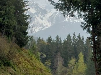
15,7 km | 23 km-effort
Theys: Descubra las mejores excursiones: 57 a pie y 6 en bici o bici de montaña. Todos estos circuitos, recorridos, itinerarios y actividades al aire libre están disponibles en nuestras aplicaciones SityTrail para smartphone y tablet.

Bici de montaña


Senderismo
Senderismo
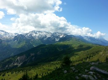
Senderismo
Senderismo
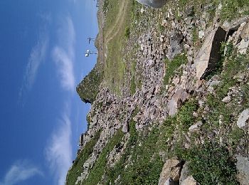
Senderismo
Senderismo
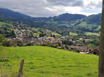
Senderismo

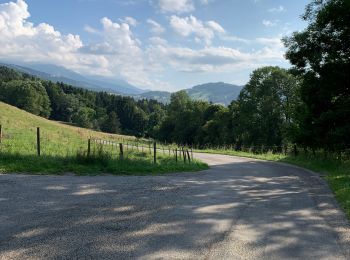
A pie
Esquí de fondo

Esquí de fondo
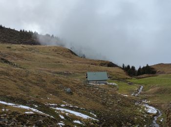
Raquetas de nieve
Senderismo
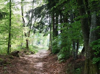
• Départ au bout de la route goudronnée: au Carrefour des quatre chemins.Montée agréable, au frais jusqu'au col de Mer...

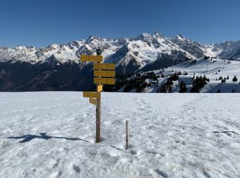
Raquetas de nieve
Senderismo
Senderismo
Senderismo
Senderismo
Senderismo
Senderismo
20 excursiones mostradas en 87
Aplicación GPS de excursión GRATIS
 SityTrail
IGN / Institutos geográficos
SityTrail World
El mundo es suyo