


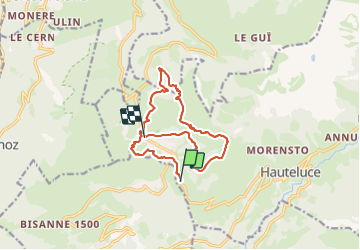

18,1 km | 28 km-effort
La balade du dimanche


Aplicación GPS de excursión GRATIS
 SityTrail
IGN / Institutos geográficos
SityTrail World
El mundo es suyo
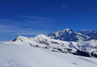
Ruta Senderismo de 13,9 km a descubrir en Auvergne-Rhône-Alpes, Saboya, Hauteluce. Esta ruta ha sido propuesta por La balade du dimanche.
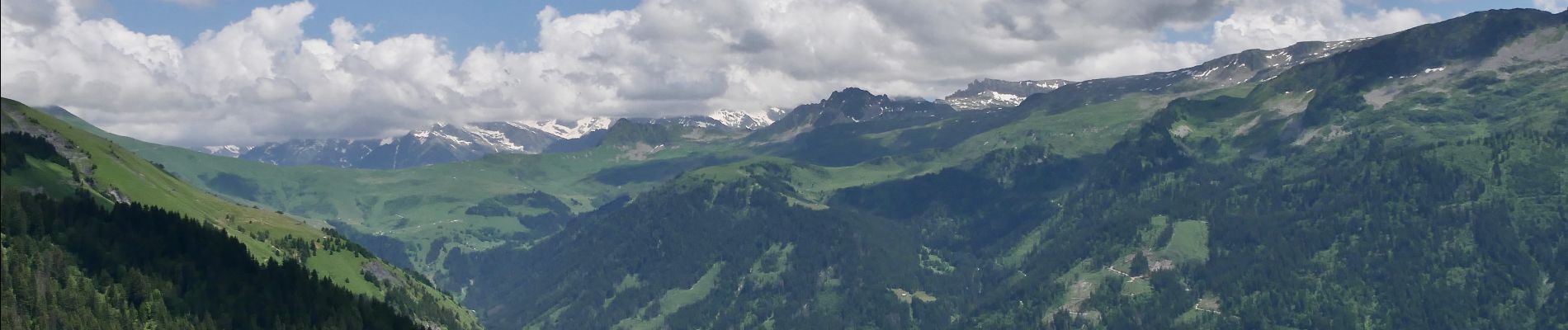
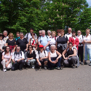
Les SAISIES la randonnée du 4 juillet 2023.


Senderismo

Bicicleta

Senderismo

Bici de montaña

Senderismo

Senderismo

Senderismo
Raquetas de nieve
Senderismo