


18,1 km | 28 km-effort
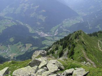
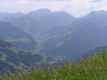
Hauteluce: Descubra las mejores excursiones: 174 a pie, 50 en bici o bici de montaña y 2 recorridos ecuestres. Todos estos circuitos, recorridos, itinerarios y actividades al aire libre están disponibles en nuestras aplicaciones SityTrail para smartphone y tablet.
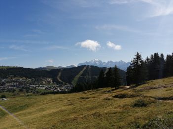
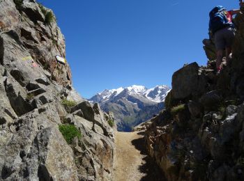
Senderismo


Esquí de fondo
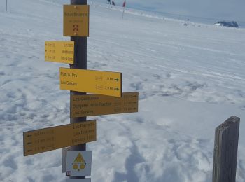
Esquí de fondo
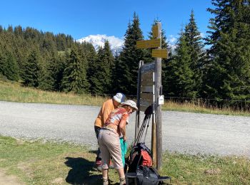
Senderismo

Senderismo
• Les 3 Grottes
Senderismo
Bici de montaña
Senderismo
Senderismo
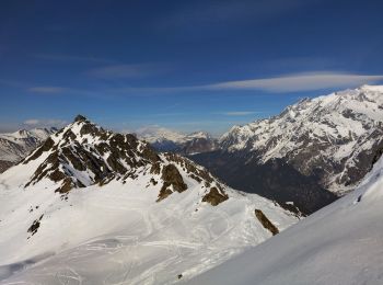
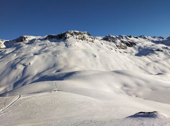
Raquetas de nieve
Senderismo
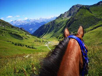
Paseo ecuestre
Senderismo
Senderismo
Senderismo
Raquetas de nieve
Senderismo
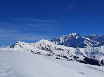
Deportes de invierno
Senderismo
Senderismo
20 excursiones mostradas en 336
Aplicación GPS de excursión GRATIS
 SityTrail
IGN / Institutos geográficos
SityTrail World
El mundo es suyo