


358 km | 524 km-effort

Usuario


Aplicación GPS de excursión GRATIS
 SityTrail
IGN / Institutos geográficos
SityTrail World
El mundo es suyo
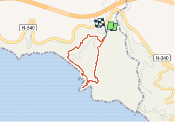
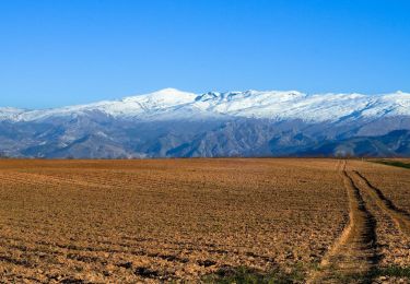
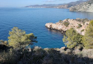
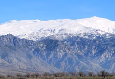
Ruta Senderismo de 3,3 km a descubrir en Andalucía, Málaga, Nerja. Esta ruta ha sido propuesta por jpipacific.
Magnifique balade.
C'est beau tout le temps.
Espérons que les gens respecterons ces lieux et qu'ils pourront conserver le coté sauvage d'aujourd'hui.
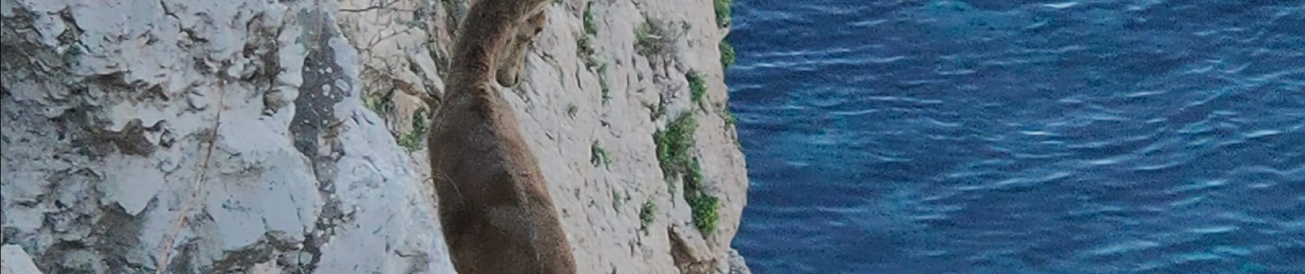
Nous avons vu des cabras Montesa faire des acrobaties dans les rochers avec un vide impressionnant au dessus de la mer.


Motocross
Motocross
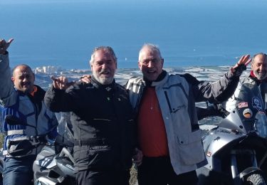
Motocross
Motocross
Motocross
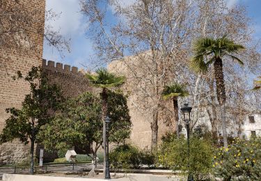
Senderismo
Motocross
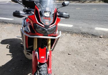
Motocross
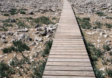
Senderismo