


12 km | 20 km-effort
Nerja: Descubra las mejores excursiones: 17 a pie. Todos estos circuitos, recorridos, itinerarios y actividades al aire libre están disponibles en nuestras aplicaciones SityTrail para smartphone y tablet.

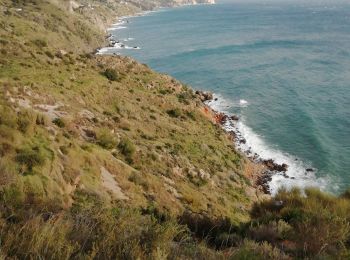
Senderismo


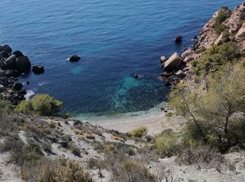
Senderismo
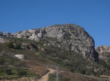
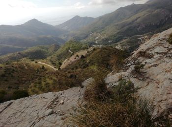
• Petite rando au PaciPic. Vue à 360° au pic.
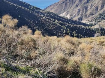
Senderismo
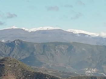
Senderismo
Senderismo
Senderismo
Senderismo
Senderismo
Senderismo
Senderismo
Motocross
Senderismo
Motocross
Motocross

A pie
Senderismo

Motocross
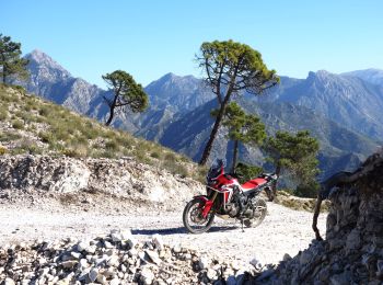
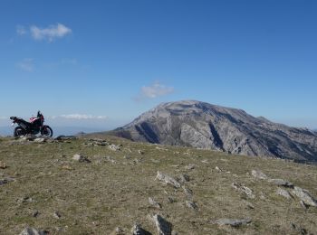
• Faite le 28 nov 2018 Honda Africa Twin CRF 1000. Splendide randonnée avec des vues époustouflantes. La sierra Nevada ...
Senderismo
Senderismo
Senderismo
20 excursiones mostradas en 21
Aplicación GPS de excursión GRATIS
 SityTrail
IGN / Institutos geográficos
SityTrail World
El mundo es suyo