


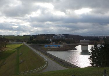
6,1 km | 8,1 km-effort

Tous les sentiers balisés d’Europe GUIDE+


Aplicación GPS de excursión GRATIS
 SityTrail
IGN / Institutos geográficos
SityTrail World
El mundo es suyo
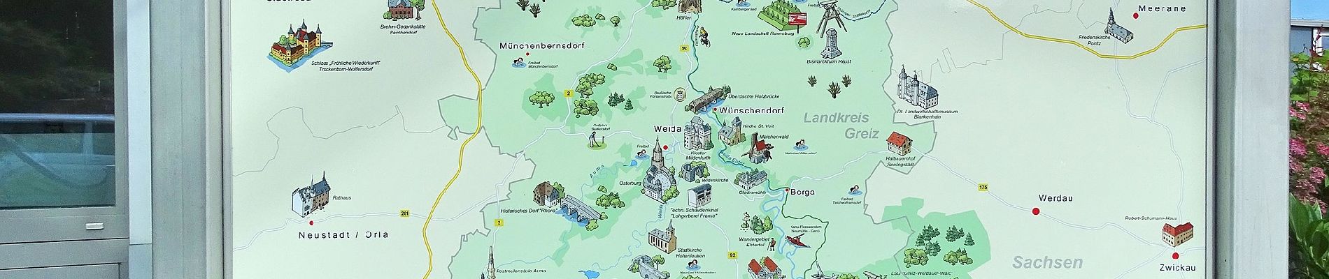
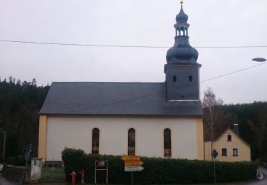
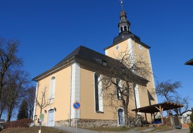
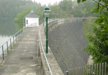
Ruta A pie de 5,8 km a descubrir en Turingia, Greiz, Zeulenroda-Triebes. Esta ruta ha sido propuesta por SityTrail - itinéraires balisés pédestres.
Symbol: blue letter π (Pi) and red dot on top;all together on white ground


A pie
A pie
A pie
A pie
A pie
A pie