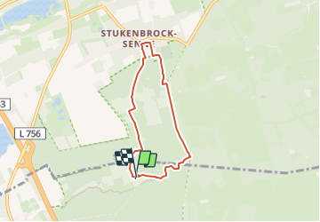
![](/images/other/stat-length.png)
![Excursión A pie Hövelhof - A5 Ems-Erlebnisweg - Photo](https://media.geolcdn.com/t/1900/400/761f653d-5f9f-457b-872e-5f0ec2348c64.jpeg&format=pjpeg&maxdim=2)
A5 Ems-Erlebnisweg
SityTrail - itinéraires balisés pédestres
Tous les sentiers balisés d’Europe GUIDE+
![Longitud](/images/other/stat-length.png)
![Altitud máxima](https://static1.geolcdn.com/siteimages/upload/files/1508320355ic_sort_altitude_max_24dp.png)
![Desnivel positivo](https://static1.geolcdn.com/siteimages/upload/files/1508320355ic_sort_den_pos_24dp.png)
![Km-Effort](/images/other/stat-length.png)
![Altitud mínima](https://static1.geolcdn.com/siteimages/upload/files/1508320355ic_sort_altitude_min_24dp.png)
![Desnivel negativo](https://static1.geolcdn.com/siteimages/upload/files/1508320355ic_sort_den_neg_24dp.png)
![Boucle](https://static1.geolcdn.com/siteimages/upload/files/16400158638029165_repeat_loop_refresh_sync_direction_icon.png)
![A pie](https://static1.geolcdn.com/sitytour/trail-icons/100.png)
1h14
Dificultad : Fácil
![Escanee este código QR para abrir la excursión en la aplicación SityTrail](https://capi.geolives.com/qq0zvz2zws4bq2lad0pu/sitytour/trails/3096761/qr.png?size=200)
Aplicación GPS de excursión GRATIS
A propósito
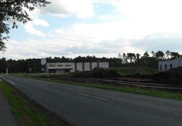
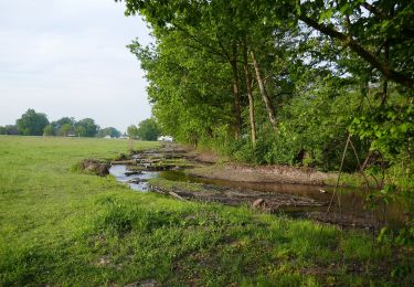
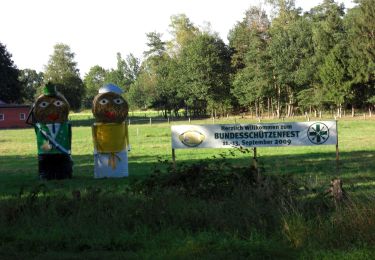
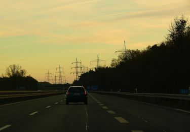
Ruta A pie de 5 km a descubrir en Renania del Norte-Westfalia, Kreis Paderborn, Hövelhof. Esta ruta ha sido propuesta por SityTrail - itinéraires balisés pédestres.
Descripción
Trail created by Teutoburger-Wald-Verein.
Symbol: black stickfigure surfing a blue wave, all on a blue sky background, sun in top left corner, white text "Ag Ems-Erlebnisweg" on top right corner, blue abbr. SHS on lower right corner
Localización
Comentarios
Excursiones cerca
![Excursión A pie Schloß Holte-Stukenbrock - Romantisches Furlbachtal - Photo](https://media.geolcdn.com/t/375/260/3b4c90b3-ac39-47a8-a47a-b37ecca07826.jpeg&format=jpg&maxdim=2)
![A pie A pie](https://static1.geolcdn.com/sitytour/trail-icons/100.png)
A pie
![](/images/other/stat-length.png)
![](https://static1.geolcdn.com/siteimages/upload/files/16400158638029165_repeat_loop_refresh_sync_direction_icon.png)
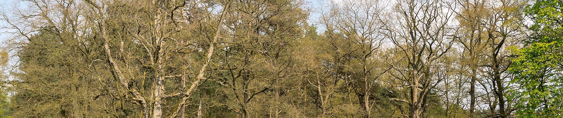
![Excursión A pie Augustdorf - [O] Augustdorfer Rundwanderweg - Photo](https://media.geolcdn.com/t/375/260/e1b1dc0d-049f-4d9c-8a6e-95f6f150b969.jpeg&format=jpg&maxdim=2)
![A pie A pie](https://static1.geolcdn.com/sitytour/trail-icons/100.png)
A pie
![](/images/other/stat-length.png)
![](https://static1.geolcdn.com/siteimages/upload/files/16400158638029165_repeat_loop_refresh_sync_direction_icon.png)
![Excursión A pie Hövelhof - Rundwanderweg A5 - Furlbach – Rixelknapp - Photo](https://media.geolcdn.com/t/375/260/cd648ac5-5a1e-49b0-b1e7-22814812460e.jpeg&format=jpg&maxdim=2)
![A pie A pie](https://static1.geolcdn.com/sitytour/trail-icons/100.png)
A pie
![](/images/other/stat-length.png)
![](https://static1.geolcdn.com/siteimages/upload/files/16400158638029165_repeat_loop_refresh_sync_direction_icon.png)
![Excursión A pie Hövelhof - Heimatkundlicher Wanderweg Hövelhofer Wald - Photo](https://media.geolcdn.com/t/375/260/7ad513ab-380f-4b33-9faa-cbc76e5e062d.jpeg&format=jpg&maxdim=2)
![A pie A pie](https://static1.geolcdn.com/sitytour/trail-icons/100.png)
A pie
![](/images/other/stat-length.png)
![](https://static1.geolcdn.com/siteimages/upload/files/16400158638029165_repeat_loop_refresh_sync_direction_icon.png)
![Excursión A pie Hövelhof - A1 (Hövelhof) Fünf-Bäche-Weg - Photo](https://media.geolcdn.com/t/375/260/6d79bfb3-6c50-4d7c-86bf-3c2d8d47d0b5.jpeg&format=jpg&maxdim=2)
![A pie A pie](https://static1.geolcdn.com/sitytour/trail-icons/100.png)
A pie
![](/images/other/stat-length.png)
![](https://static1.geolcdn.com/siteimages/upload/files/16400158638029165_repeat_loop_refresh_sync_direction_icon.png)
![Excursión A pie Hövelhof - A3 (Hövelhof) - Photo](https://media.geolcdn.com/t/375/260/9e6fae46-2f9b-4ef6-a3c8-e05f288fa81a.jpeg&format=jpg&maxdim=2)
![A pie A pie](https://static1.geolcdn.com/sitytour/trail-icons/100.png)
A pie
![](/images/other/stat-length.png)
![](https://static1.geolcdn.com/siteimages/upload/files/16400158638029165_repeat_loop_refresh_sync_direction_icon.png)
![Excursión A pie Hövelhof - Emsquellen Rundwanderweg - Photo](https://media.geolcdn.com/t/375/260/6d79bfb3-6c50-4d7c-86bf-3c2d8d47d0b5.jpeg&format=jpg&maxdim=2)
![A pie A pie](https://static1.geolcdn.com/sitytour/trail-icons/100.png)
A pie
![](/images/other/stat-length.png)
![](https://static1.geolcdn.com/siteimages/upload/files/16400158638029165_repeat_loop_refresh_sync_direction_icon.png)
![Excursión A pie Schloß Holte-Stukenbrock - Sennebahn-Wanderweg - Photo](https://media.geolcdn.com/t/375/260/93194629-04fc-4922-a21d-074c55308d36.jpeg&format=jpg&maxdim=2)
![A pie A pie](https://static1.geolcdn.com/sitytour/trail-icons/100.png)
A pie
![](/images/other/stat-length.png)
![](https://static1.geolcdn.com/siteimages/upload/files/16400158638029165_repeat_loop_refresh_sync_direction_icon.png)