![](/images/other/stat-length.png)
Hövelhof, Kreis Paderborn: Los mejores itinerarios de excursión, recorridos, paseos y sendas
Hövelhof: Descubra las mejores excursiones: 6 a pie. Todos estos circuitos, recorridos, itinerarios y actividades al aire libre están disponibles en nuestras aplicaciones SityTrail para smartphone y tablet.
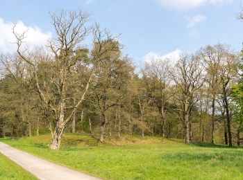
Los mejores recorridos (6)
![Excursión A pie Hövelhof - A5 Ems-Erlebnisweg - Photo](https://media.geolcdn.com/t/350/260/761f653d-5f9f-457b-872e-5f0ec2348c64.jpeg&format=jpg&maxdim=2)
![A pie A pie](https://static1.geolcdn.com/sitytour/trail-icons/100.png)
Km
A pie
![](/images/other/stat-length.png)
![](https://static1.geolcdn.com/siteimages/upload/files/1508320355ic_sort_den_pos_24dp.png)
![](https://static1.geolcdn.com/siteimages/upload/files/1508320355ic_sort_den_neg_24dp.png)
![](https://static1.geolcdn.com/siteimages/upload/files/16400158638029165_repeat_loop_refresh_sync_direction_icon.png)
• Trail created by Teutoburger-Wald-Verein. Symbol: black stickfigure surfing a blue wave, all on a blue sky backgroun...
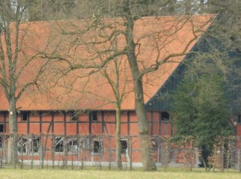
![Excursión A pie Hövelhof - Rundwanderweg A5 - Furlbach – Rixelknapp - Photo](https://media.geolcdn.com/t/350/260/cd648ac5-5a1e-49b0-b1e7-22814812460e.jpeg&format=jpg&maxdim=2)
![A pie A pie](https://static1.geolcdn.com/sitytour/trail-icons/100.png)
Km
A pie
![](/images/other/stat-length.png)
![](https://static1.geolcdn.com/siteimages/upload/files/1508320355ic_sort_den_pos_24dp.png)
![](https://static1.geolcdn.com/siteimages/upload/files/1508320355ic_sort_den_neg_24dp.png)
![](https://static1.geolcdn.com/siteimages/upload/files/16400158638029165_repeat_loop_refresh_sync_direction_icon.png)
• Symbol: white text A5 on black background
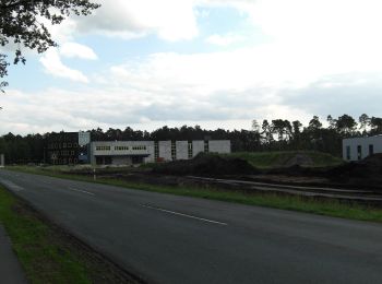
![Excursión A pie Hövelhof - Heimatkundlicher Wanderweg Hövelhofer Wald - Photo](https://media.geolcdn.com/t/350/260/7ad513ab-380f-4b33-9faa-cbc76e5e062d.jpeg&format=jpg&maxdim=2)
![A pie A pie](https://static1.geolcdn.com/sitytour/trail-icons/100.png)
Km
A pie
![](/images/other/stat-length.png)
![](https://static1.geolcdn.com/siteimages/upload/files/1508320355ic_sort_den_pos_24dp.png)
![](https://static1.geolcdn.com/siteimages/upload/files/1508320355ic_sort_den_neg_24dp.png)
![](https://static1.geolcdn.com/siteimages/upload/files/16400158638029165_repeat_loop_refresh_sync_direction_icon.png)
• Symbol: black post horn on yellow background
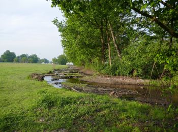
![Excursión A pie Hövelhof - A1 (Hövelhof) Fünf-Bäche-Weg - Photo](https://media.geolcdn.com/t/350/260/6d79bfb3-6c50-4d7c-86bf-3c2d8d47d0b5.jpeg&format=jpg&maxdim=2)
![A pie A pie](https://static1.geolcdn.com/sitytour/trail-icons/100.png)
Km
A pie
![](/images/other/stat-length.png)
![](https://static1.geolcdn.com/siteimages/upload/files/1508320355ic_sort_den_pos_24dp.png)
![](https://static1.geolcdn.com/siteimages/upload/files/1508320355ic_sort_den_neg_24dp.png)
![](https://static1.geolcdn.com/siteimages/upload/files/16400158638029165_repeat_loop_refresh_sync_direction_icon.png)
• Trail created by Eggegebirgsverein. Symbol: white text A1 on black background
![Excursión A pie Hövelhof - A3 (Hövelhof) - Photo](https://media.geolcdn.com/t/350/260/9e6fae46-2f9b-4ef6-a3c8-e05f288fa81a.jpeg&format=jpg&maxdim=2)
![A pie A pie](https://static1.geolcdn.com/sitytour/trail-icons/100.png)
Km
A pie
![](/images/other/stat-length.png)
![](https://static1.geolcdn.com/siteimages/upload/files/1508320355ic_sort_den_pos_24dp.png)
![](https://static1.geolcdn.com/siteimages/upload/files/1508320355ic_sort_den_neg_24dp.png)
![](https://static1.geolcdn.com/siteimages/upload/files/16400158638029165_repeat_loop_refresh_sync_direction_icon.png)
• Symbol: white text A3 on black background
![Excursión A pie Hövelhof - Emsquellen Rundwanderweg - Photo](https://media.geolcdn.com/t/350/260/6d79bfb3-6c50-4d7c-86bf-3c2d8d47d0b5.jpeg&format=jpg&maxdim=2)
![A pie A pie](https://static1.geolcdn.com/sitytour/trail-icons/100.png)
Km
A pie
![](/images/other/stat-length.png)
![](https://static1.geolcdn.com/siteimages/upload/files/1508320355ic_sort_den_pos_24dp.png)
![](https://static1.geolcdn.com/siteimages/upload/files/1508320355ic_sort_den_neg_24dp.png)
![](https://static1.geolcdn.com/siteimages/upload/files/16400158638029165_repeat_loop_refresh_sync_direction_icon.png)
• Trail created by Eggegebirgsverein. Symbol: blue spring streams from yellow "sandy" ground, on top of the white text...
6 excursiones mostradas en 6
Aplicación GPS de excursión GRATIS