


14,6 km | 21 km-effort


Usuario


Aplicación GPS de excursión GRATIS
 SityTrail
IGN / Institutos geográficos
SityTrail World
El mundo es suyo
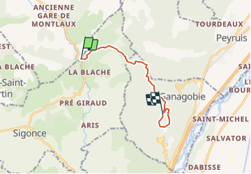
Ruta Senderismo de 7,7 km a descubrir en Provenza-Alpes-Costa Azul, Alpes de Alta Provenza, Sigonce. Esta ruta ha sido propuesta por JPJ38.
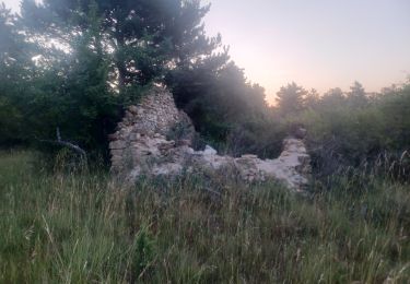
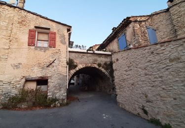
A l'arrivée sur le plateau de Ganagobie aller jusqu'au prieuré puis longer l'autre bord du plateau pour passer par les ruines de la vieille ville puis terminer la boucle au point culminant de l'aller et retour par le même parcours par l'aller. distance totale 14km

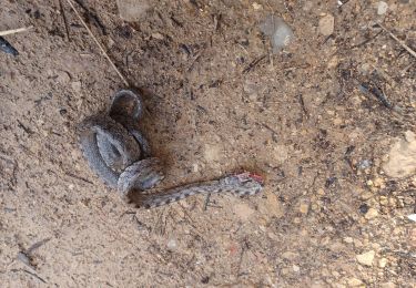
Senderismo

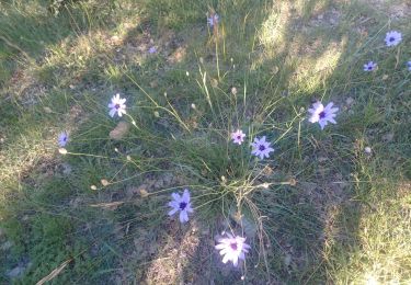
Senderismo
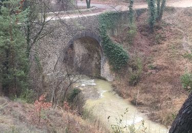
Senderismo
Senderismo
Senderismo
Senderismo
Senderismo

Senderismo
Senderismo