


12,6 km | 17,7 km-effort
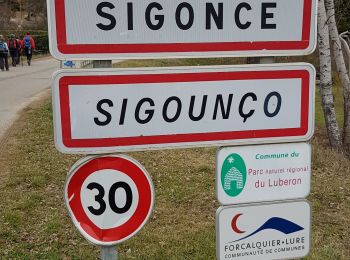
Sigonce: Descubra las mejores excursiones: 7 a pie, 4 en bici o bici de montaña y 3 recorridos ecuestres. Todos estos circuitos, recorridos, itinerarios y actividades al aire libre están disponibles en nuestras aplicaciones SityTrail para smartphone y tablet.
Senderismo


Senderismo
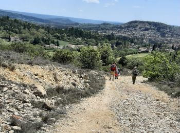
Senderismo
Senderismo

Paseo ecuestre

Senderismo
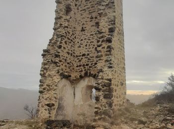
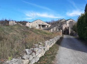
• 3 villages provençaux magnifiques. Sentier sympathique en bordure d eau magnifique 200 mns marche à refaire
Senderismo
Senderismo

Bici de montaña

Coche
Bici de montaña
Bici de montaña

Caballo
Caballo
Bici de montaña
15 excursiones mostradas en 15
Aplicación GPS de excursión GRATIS
 SityTrail
IGN / Institutos geográficos
SityTrail World
El mundo es suyo