


16,1 km | 26 km-effort


Usuario


Aplicación GPS de excursión GRATIS
 SityTrail
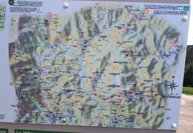
IGN / Institutos geográficos
SityTrail World
El mundo es suyo
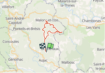
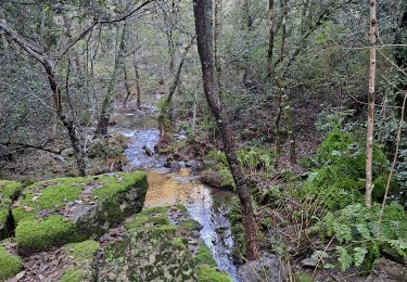
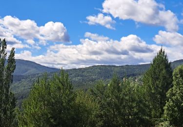
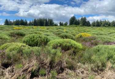
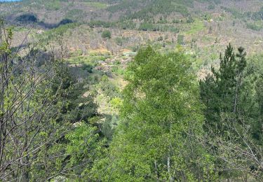
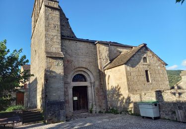
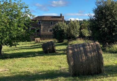
Ruta Senderismo de 19,8 km a descubrir en Occitania, Gard, Aujac. Esta ruta ha sido propuesta por dansmabulle.
TOUR DES HAMEAUX DE MALONS
19.8 Km - 06:30 - D 600 m
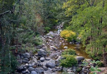
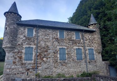
Départ randonnée : col du Péras sur la commune d'Aujac (Gard 30) Tour des hameaux de MalonsRandonnée de 22,5 km au départ du col du Péras.Superbe paysages, superbes hameauxUne petite grimpette pour remonter à partir du FrontalBonne randonnée
Senderismo
Senderismo
Senderismo
Senderismo
Senderismo
Senderismo
Senderismo
Senderismo
Senderismo